How to mark a point you can see but can’t reach (azimuth + distance)
Some of the most useful points are the ones you cannot walk to. A stand across the valley, the spot where a shot went, a fishing mark off the bank, the corner of a parcel on the far side of a creek — you can see it, you know roughly how far it is, and you want it on the map now rather than after an hour of bushwhacking.
Handheld GPS units have done this for decades under the name project waypoint. NomadTracks does it too, and it is part of the free core: give it a direction and a distance from your current position and it computes where that lands.
Get NomadTracks free — iOS & Android
Stand where you can see it
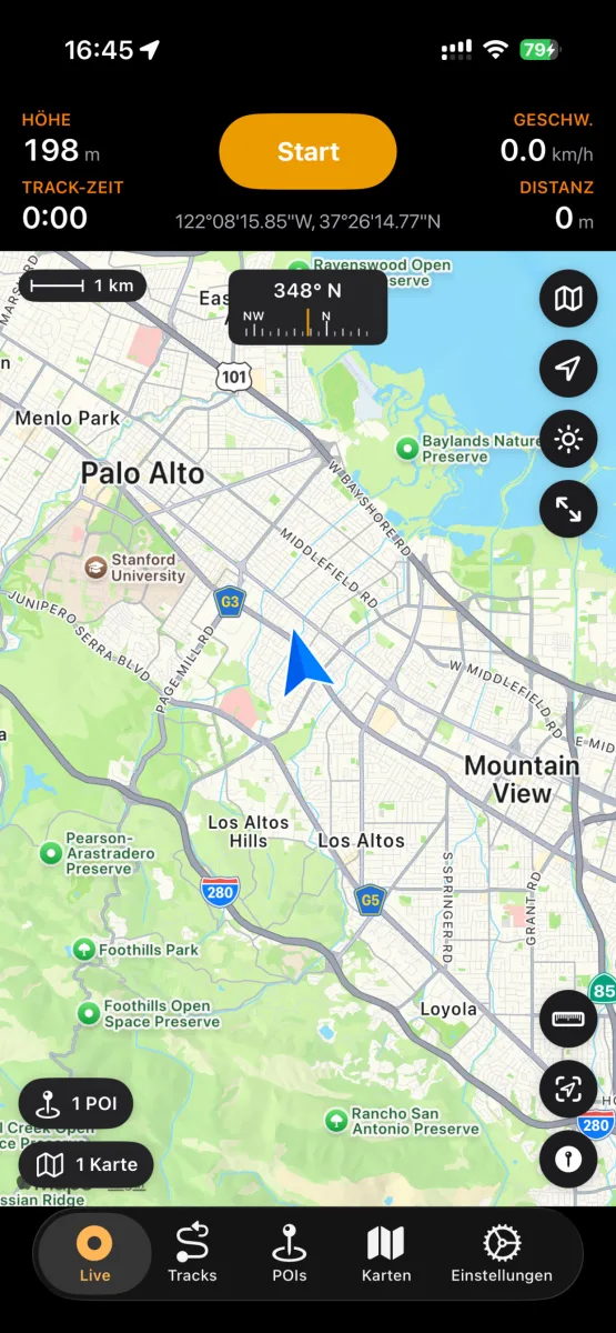
Accuracy comes from your own position, so let the GPS settle before you start — the live map shows your coordinates and the app waits for a fix. The more open the sky, the tighter the result.
Read the bearing
Point the phone at the target and read the compass bearing on the live map. That is your azimuth in degrees, 0–360, measured clockwise from north. Note whether you are reading magnetic or true north — keep it consistent with whatever you compare against later.
Estimate the distance
Judge the distance in the units you already work in — metres, feet, or nautical miles. A rangefinder is ideal; a map estimate or a known landmark works. Being 10 % out on 400 m still puts you within 40 m of the target, which is close enough to find it on foot.
Project the POI
Open Project POI, enter the azimuth and the distance, and NomadTracks computes the position from where you stand and drops the point there. Give it a category, a colour and a note while the detail is fresh — the projection is a field record, not just a pin.
Navigate to it when you are ready
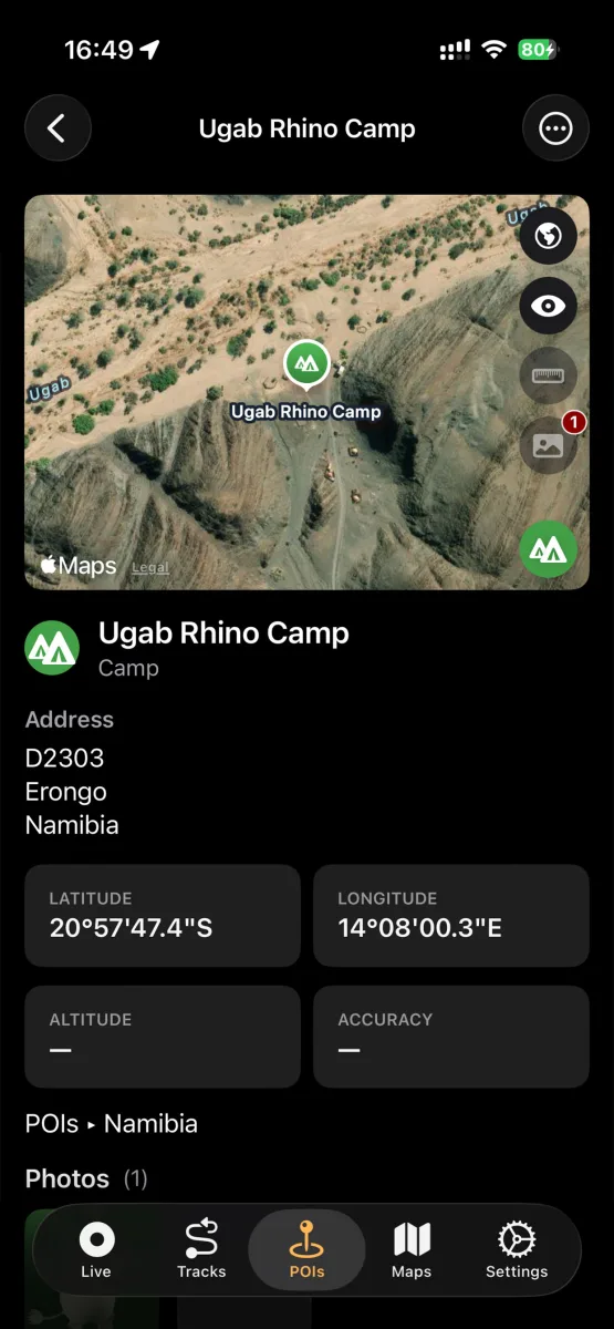
Later — next season, even — pick the POI and navigate to it. You get a live bearing and remaining distance instead of a route, which is what you want off-trail where there is no path to follow. It runs on the Apple Watch too, so the phone can stay in the pack.
Take it home
Projected POIs export like any other: GPX or GeoJSON, with photos and notes in a bundle. They open in QGIS, on a handheld, or in whatever your forestry or hunting club already uses — nothing is locked in the app.