NomadTracks for hunting
Your hunting ground, on your own map
Hunting happens on maps nobody else publishes: the lease agreement's boundary sketch, the revier map from the landowner, the state agency's public-land GeoPDF. NomadTracks imports them all — georeferenced or not — and puts your live position on them, fully offline, with your stands, trails and sign marked as POIs.
If you hunt a base or state permit area, the map from the iSportsman or RecAccess portal opens the same way — with the unit boundary under your blue dot.
The lease map, live
Import the GeoPDF from the state agency, or photograph the paper revier map and georeference it in-app. Your blue dot walks across the exact map that defines where you may hunt.
Stands, sign, boundaries as POIs
Mark stands, cameras, scrapes, feeders and boundary corners with categories, colors, photos and notes. Enter a corner post from its coordinates if that's all the lease gives you.
Back to the truck in the dark
Every walk in is a recorded track — follow it back out with off-track alerts and haptics, no screen-staring needed. Works with gloves via the Apple Watch.
Keep your spots in your own library
No NomadTracks account or public heatmap of your spots. Your stand locations sync only through your own iCloud, Google Drive, Dropbox or NAS — or not at all.
From the field
Real recordings, real places
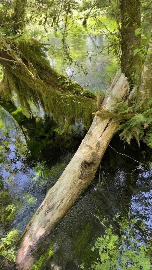
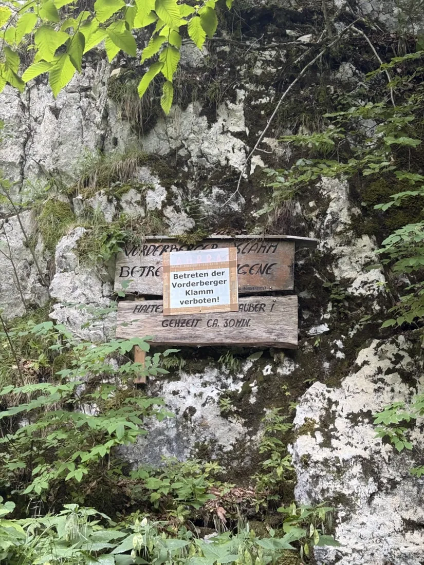
Tap a photo or map to open the full track story — route, elevation profile and GPX download included.
Questions
FAQ
Can I see property or lease boundaries?
NomadTracks doesn't sell parcel data — instead it displays whatever boundary map you have the rights to: the state agency's public-land GeoPDF, the lease's boundary map, or a plot from your own GIS. Import it and your live position shows exactly where you stand relative to the line.
Does it work with no cell coverage?
Fully. GPS positioning, your imported maps, POIs and track recording all work with zero connectivity — hunting land usually has none, and the app is built for that.
Can I mark a spot I can see but can't reach?
Yes — project a POI from your position using a compass bearing and estimated distance, then walk to it later. Where a shot went, where game crossed, a distant stand site.
Is it really free?
The whole hunting workflow — unlimited map imports, georeferencing, POIs, recording, offline use — is the free core, no account needed. The optional Pro subscription adds route planning and extra basemaps, never your maps.
Free on the App Store
Record, map and keep every adventure — privately, on your own devices.
🤖 Also on Android — free on Google Play.