NomadTracks for sailing & boating
Your wake, drawn on the chart
Switch NomadTracks to nautical units and it becomes a quiet logbook: speed over ground in knots, distance in nautical miles, every tack and every anchorage in the recorded line. Perfect as the private, boat-independent record of a charter week.
A logbook that writes itself
The track is the diary: departure, tacks, lunch bays, marina arrivals — all timestamped, with speed-over-ground charts.
Anchorages worth remembering
Drop POIs for moorings, konobas and quiet bays — with photos, notes and exact coordinates for next season.
Your own chartlets
Georeference a scanned pilot-book page or harbor sketch and see your position on it — useful redundancy when the chartplotter isn't yours.
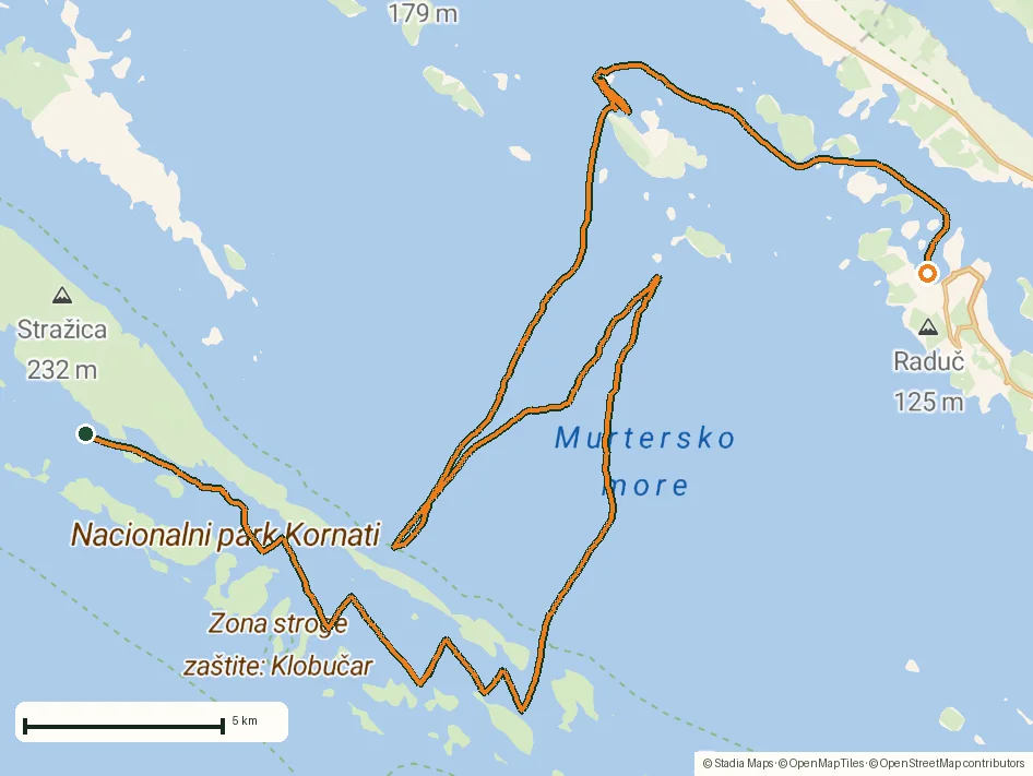
From the field
Real recordings, real places
Tap a photo or map to open the full track story — route, elevation profile and GPX download included.
Questions
FAQ
Does NomadTracks show knots and nautical miles?
Yes — metric, imperial and nautical unit systems are built in; switch in Settings.
Can I share my GPS position with an iPad below deck?
Yes — an iPhone can share its GPS position with Wi-Fi-only iPads, so the big screen at the chart table stays live.
Free on the App Store
Record, map and keep every adventure — privately, on your own devices.
🤖 Also on Android — free on Google Play.