NomadTracks for road trips & overlanding
The expedition diary that writes itself
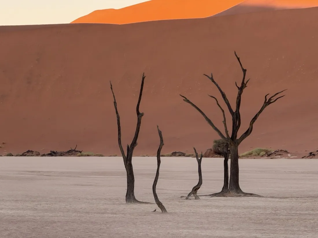
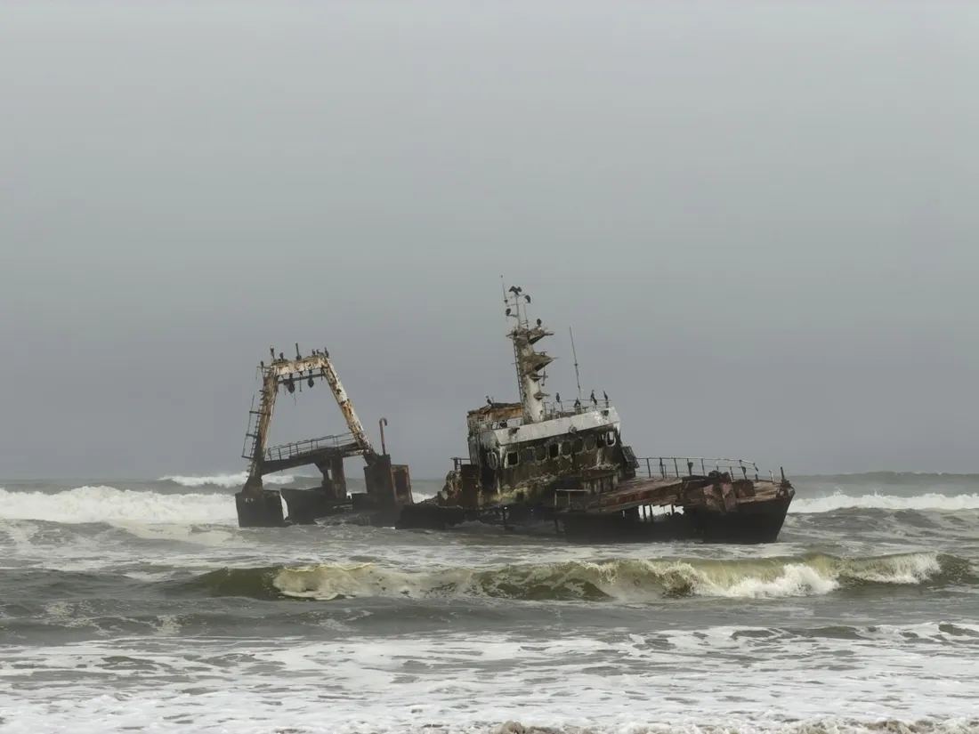
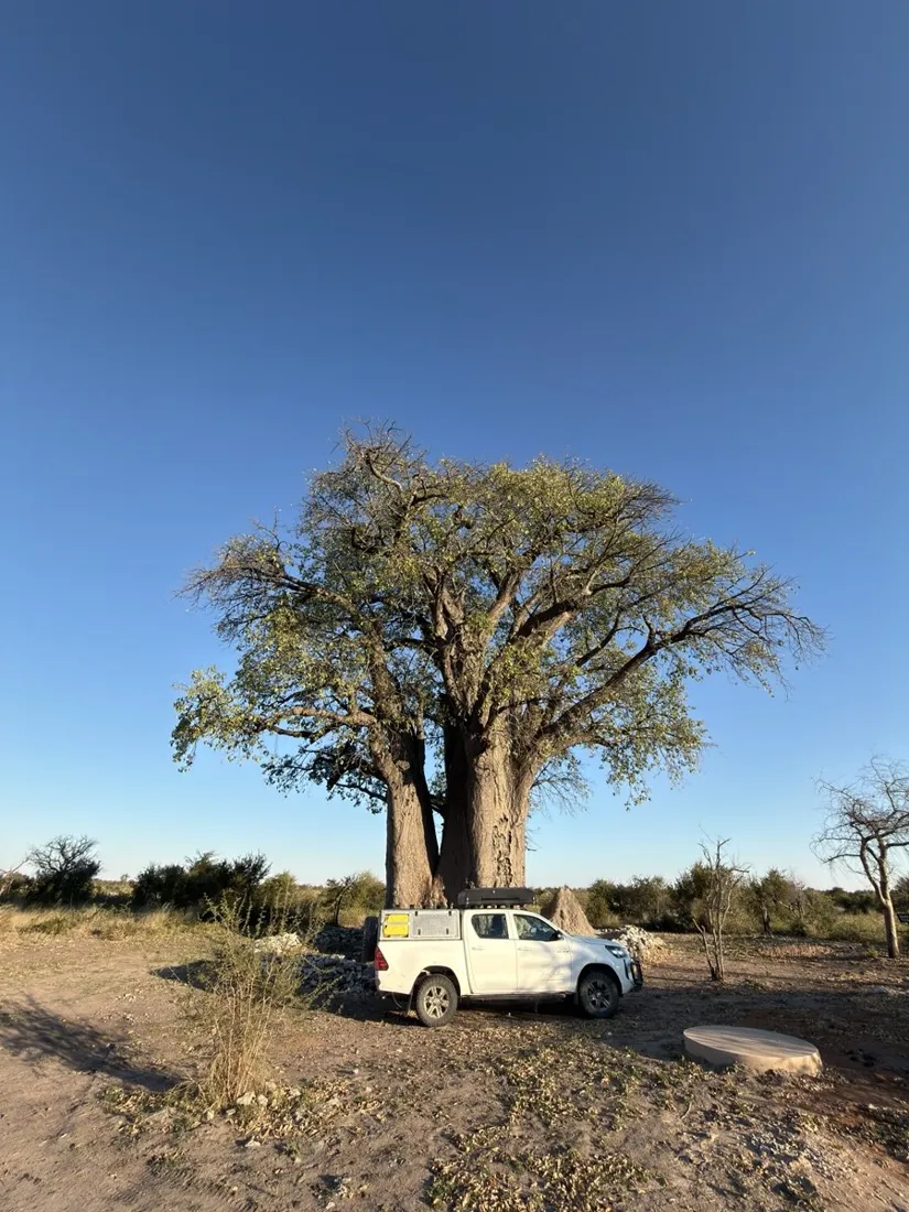
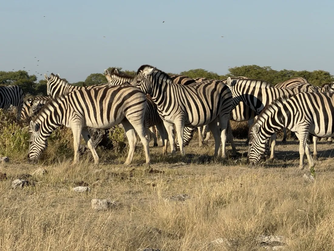
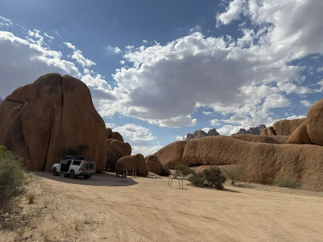
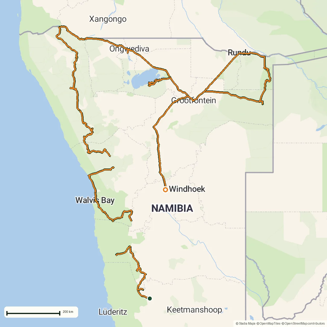
Overlanding lives on gravel roads that map apps barely know and in parks where the only good map is the paper one at the gate. NomadTracks records every leg, keeps camp and fuel POIs, and turns that gate map into a live overlay — see the 4,250 km Namibia expedition below for the proof.
Leg-by-leg expedition log
Each day is a track with distance, elevation and time. The whole trip lines up in a folder — your route, reconstructable forever.
Park maps over empty basemaps
Etosha, Khaudum, any national park: photograph the ranger map, georeference it, and your blue dot drives across it — fully offline.
Camps, water, fuel as POIs
Pin the campsites, waterholes and fuel stops with notes and photos. Export the lot as GPX for the next traveler.
From the field
Real recordings, real places
Tap a photo or map to open the full track story — route, elevation profile and GPX download included.
The map that exists at the gate, not in the app
Overlanding lives on gravel roads that map apps barely know and in parks where the only good map is the paper one handed to you at the gate. Photograph that ranger map, set four control points, and your blue dot drives across the official cartography — waterholes, campsites, tracks and all — fully offline. It's the single feature that rode shotgun for three weeks across Namibia.
A leg-by-leg diary you can hand on
Each day records as its own track with distance, elevation and time; the whole trip lines up in a folder, reconstructable forever. Camps, fuel and water become POIs with photos and notes — and the lot exports as GPX for the next traveller. The routes below are the proof: a 4,250 km loop, a desert canyon trail, ancient rock art and granite country.
From the library
More recorded road trips stories
Each one is a real GPS recording — open it for the route map, elevation profile and a GPX download.
Questions
FAQ
Does recording work for days without any signal?
Yes — GPS recording is fully offline. The Namibia expedition on this site was recorded through three weeks with barely any coverage.
Can I keep the phone mounted and the screen off?
Yes — recording continues in the background, with live stats on the Lock Screen whenever you glance at it.
Is it suitable for motorcycling?
Yes — among the 25+ activity categories are driving, motorcycling and overlanding; the recording engine is the same precise one throughout.
Free on the App Store
Record, map and keep every adventure — privately, on your own devices.
🤖 Also on Android — free on Google Play.