How to open a GeoPDF on iPhone & Android (with your live GPS position)
A GeoPDF looks like a normal PDF but carries embedded coordinates — and with the right app, your phone shows your live position moving across it. Agencies publish thousands of them: USGS topo quads, the BLM's free georeferenced PDF library, forest service and state DNR maps.
NomadTracks opens them with no map-count limit, free — and the steps below are the same on iPhone and Android.
So do the recreation portals: if you check in and out of a base or state hunting area, the map on the iSportsman or RecAccess portal is usually a GeoPDF too — and the boundary is the part you most want your blue dot against.
Get NomadTracks free — iOS & Android
Download the GeoPDF
Get the map from the agency's site — on the phone directly (browser → Download) or on a computer and AirDrop / transfer it over. Any file your phone's file browser can reach works.
Import it into NomadTracks
Open the Maps tab, tap + → Import Custom Map… and choose From Files… — or simply tap the PDF in your files app and choose Share / Open with → NomadTracks. The embedded georeferencing is detected automatically; there is nothing to configure.
Check it aligned
A cleanly imported map just works — open it and your blue dot is on it. If a file carries no usable coordinates, the map is marked “Not georeferenced” in orange and NomadTracks tells you why, offering the manual control-point editor as fallback (which shows a live ± metre accuracy readout as you place points).
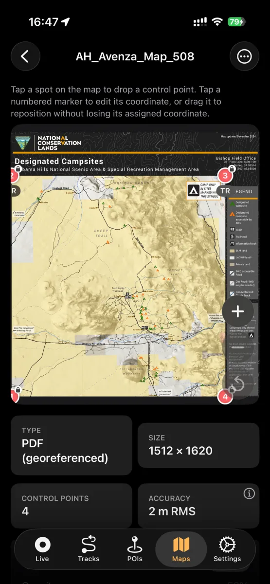
Use it offline on the trail
Enable the map as an overlay and your blue dot moves across the official cartography — completely offline, since the file lives on your device. Record your track on it like on any other basemap.
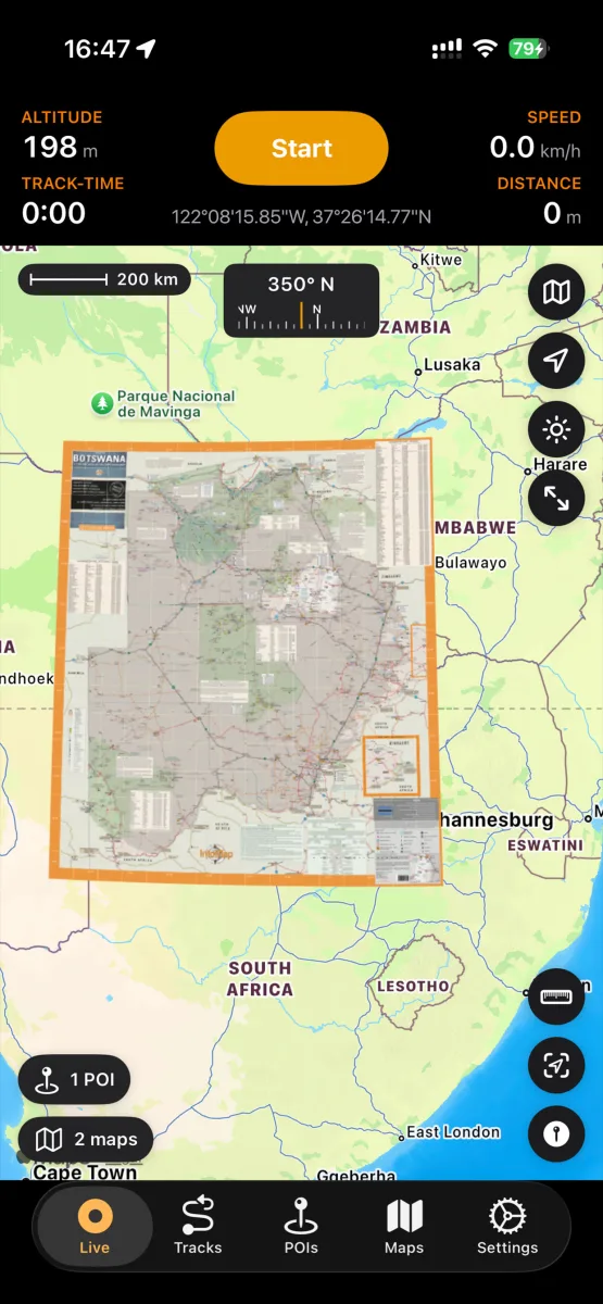
Maps from a hunting or permit portal
Got the map from a hunting program's permit system — a military base's iSportsman/RecAccess portal, a state wildlife agency, a lease manager? Those maps are standard GeoPDFs and import exactly as above: your live position on the official boundary and unit map, fully offline in the field. See NomadTracks for hunting — and if you run such a program, distributing your maps to members needs nothing more than the file and a link.
The same map workflow on Android
Download the actual PDF, then use your browser or file manager’s Open with → NomadTracks, or import it through the Maps tab. This free BLM Gooseberry Mesa GeoPDF imported with four control points automatically. Switch on the overlay to view the official trail map over NomadTracks Map.
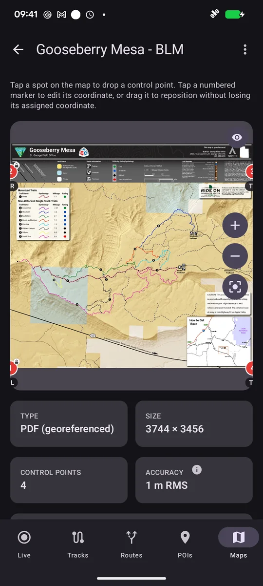
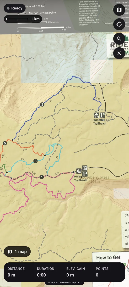
Watch the Android walkthrough on YouTube with English narration and captions.