Track stories · Namibia
Track stories from Namibia
Namibia rewards exactly the kind of navigation NomadTracks is built for: gravel roads that outrun mobile coverage for days, parks whose only good map is the paper one at the gate, and granite landscapes where every kopje looks like the next. Four recordings — one expedition and three hikes — from the Kalahari to the Erongo.
All tracks and photos were personally shared with us as samples by a NomadTracks user. NomadTracks never uploads or shares your recordings.
By region: USA · Namibia · Europe · South Africa
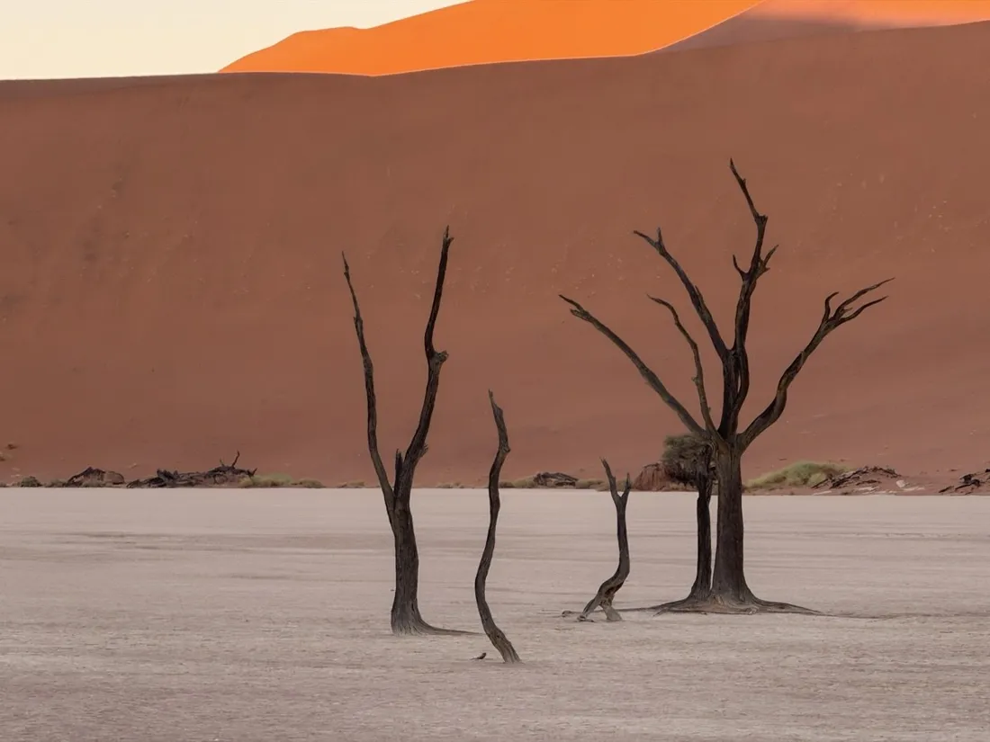
Overlanding Namibia: 4,250 km from the Kalahari to the Kunene
A three-week 4x4 expedition across Namibia — desert passes, Etosha, Kaokoland and the Khaudum — recorded leg by leg.
4,260 km · 15,596 m up
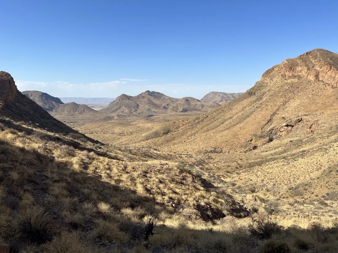
The Olive Trail, Namib-Naukluft: 10.9 km through a desert canyon
Namibia's Olive Trail — a 10.9 km loop through the Naukluft mountains with a slot-canyon descent, chains, and hidden water pools. Recorded with NomadTracks.
11 km · 506 m up
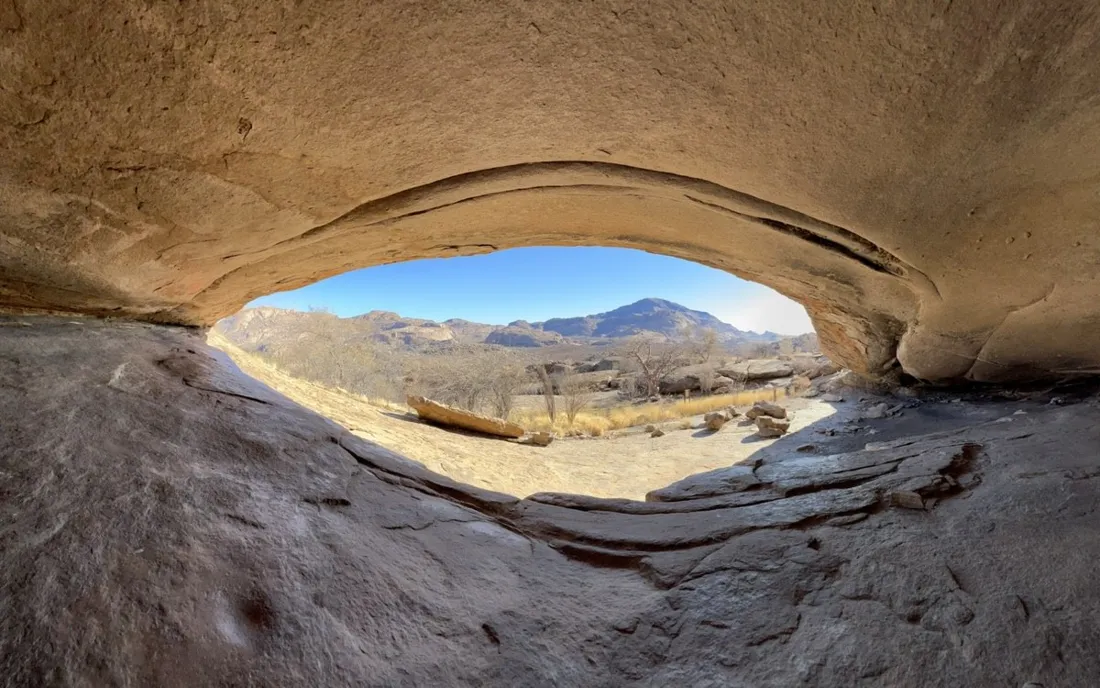
Phillips Cave: a 6.5 km walk to Namibia's White Elephant rock art
A 6.5 km hike through the granite of the Erongo mountains to Phillips Cave and its famous White Elephant painting — thousands of years of rock art, recorded with NomadTracks.
6 km · 175 m up
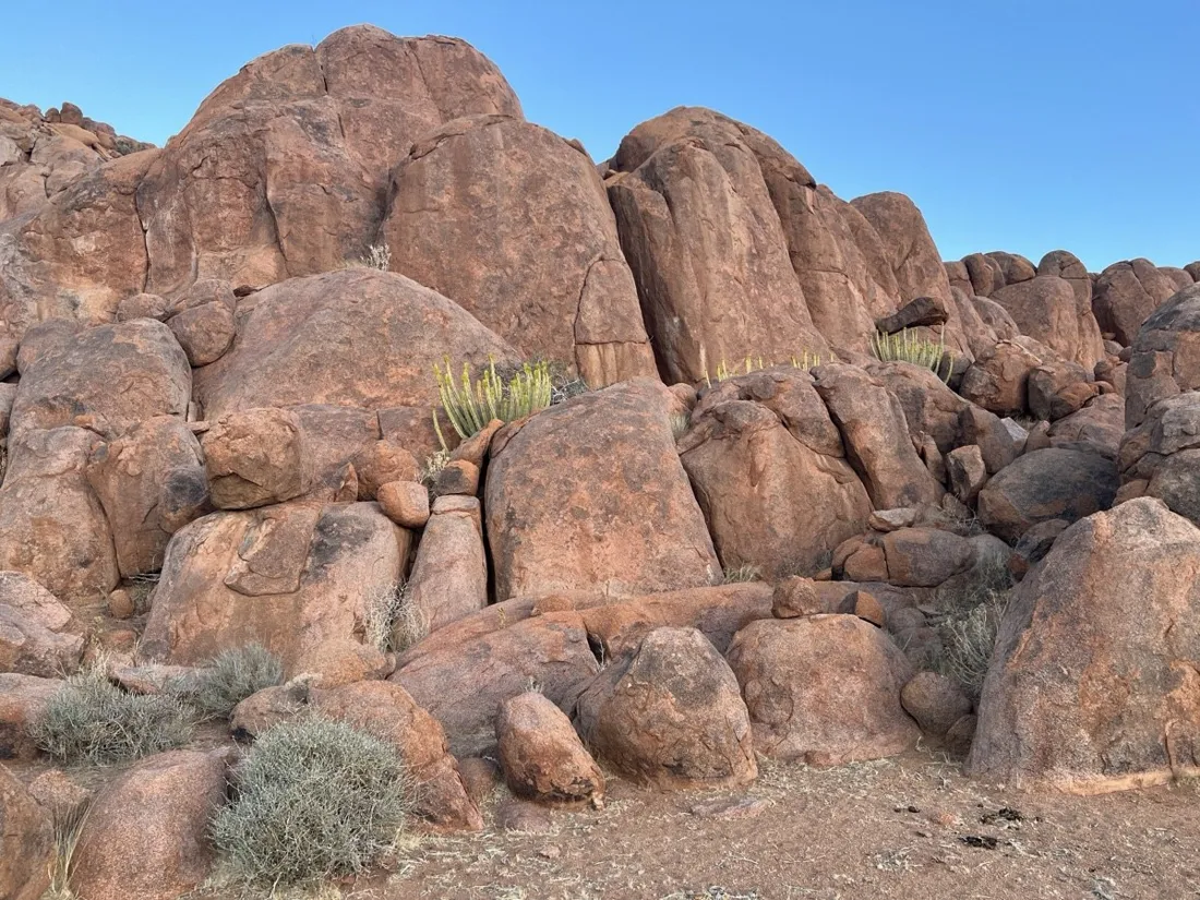
Koiimasis: 9 km through the granite of the Tiras Mountains
A 9 km evening hike through the boulder country of the Tiras Mountains at Koiimasis, Namibia — red granite, golden grass and one of the quietest sunsets on earth.
9 km · 144 m up
Record your own
Every map and chart on these pages came straight out of the app — free on the App Store.