Track stories · Europe
Track stories from Europe
Sixteen very different European days: limestone towers in South Tyrol, a forest running loop on the edge of Vienna, an evening city run up to the golden dome of the Kirche am Steinhof, another over the hills on Vienna’s western edge, a full day in the Radstädter Tauern over the Hengst to the Wildsee, a flat riverside run where the Sava is born in Slovenia, a reed-belt loop around one of Austria's warmest lakes, a wild off-trail climb to the almen of the Carnic Alps, Arctic green on the Lofoten, a logbook of tacks through the Kornati islands, an Atlantic dune run onto a former whaling island in Portugal, a run around Sagres, a waterfront-and-street loop through Dubrovnik’s Lapad peninsula, a run from Breitensee to the Hermesvilla and Hietzing, a longer Vienna Woods circuit via Rieglerhütte and the Jubiläumswarte, and a sunset boat trip from Cavtat. Each shows a different side of the same recorder — mountain elevation profiles, an everyday home loop, and knots instead of km/h.
All tracks and photos were personally shared with us as samples by a NomadTracks user. NomadTracks never uploads or shares your recordings.
By region: USA · Namibia · Europe · South Africa
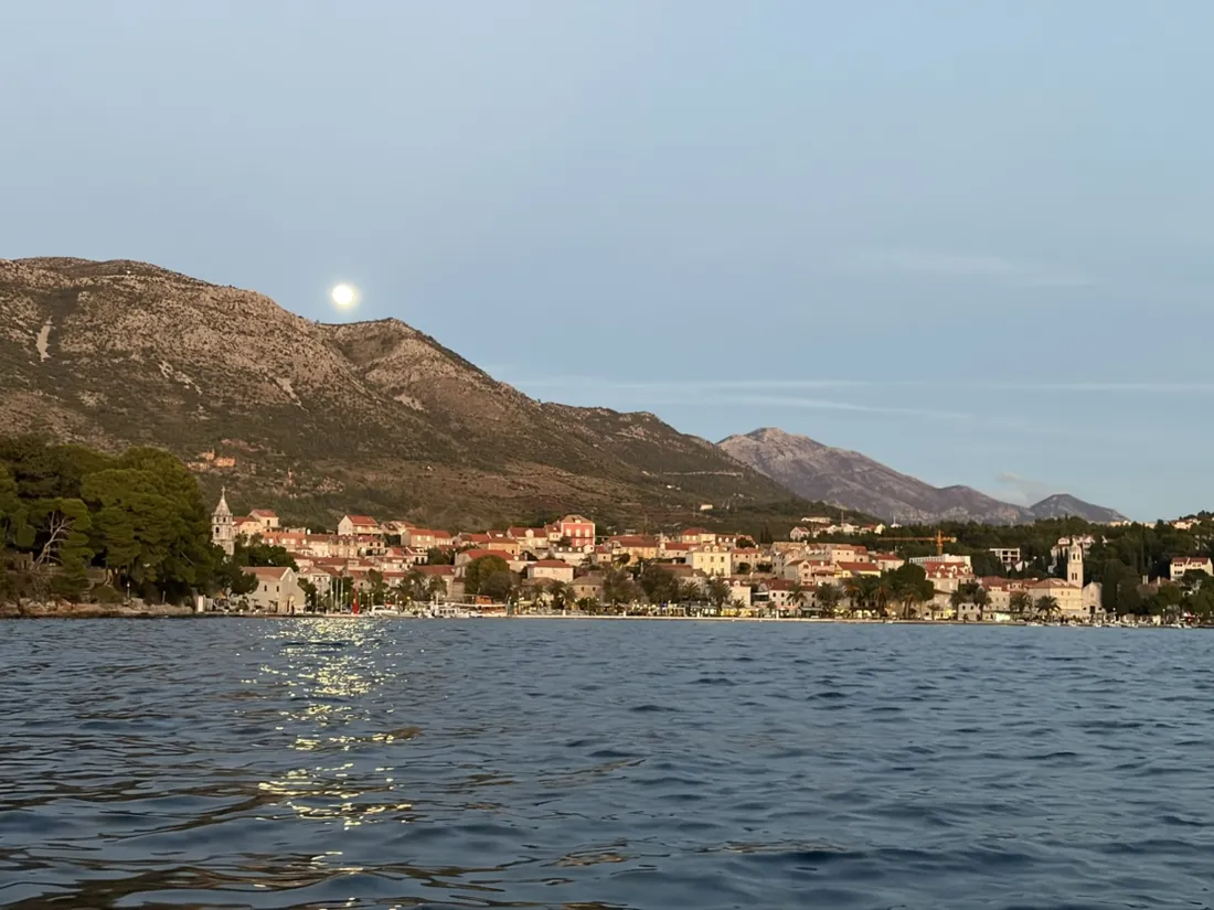
Cavtat by boat: 20.9 km along the Konavle coast at sunset
A 20.9 km motorboat outing from Cavtat along the Konavle coast and back: wooded shores, sunlit cliffs, sunset and a moonlit return. Six photos, interactive route map and GPX.
21 km · 0 m up
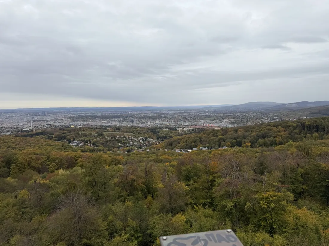
Vienna Woods: 21.9 km via Rieglerhütte and the Jubiläumswarte
A 21.9 km trail run from Breitensee into the Vienna Woods, past Rieglerhütte and the Jubiläumswarte, returning via Otto Wagner’s church. Six photos, route map, elevation profile and GPX.
22 km · 479 m up
Hermesvilla: a 16.6 km run through Vienna’s western districts
From Breitensee through Hacking to the Hermesvilla, then on to Hietzing: a 16.6 km Vienna run linking city streets, woodland paths and an imperial villa. Six geotagged photos, route map, elevation profile and GPX.
17 km · 162 m up
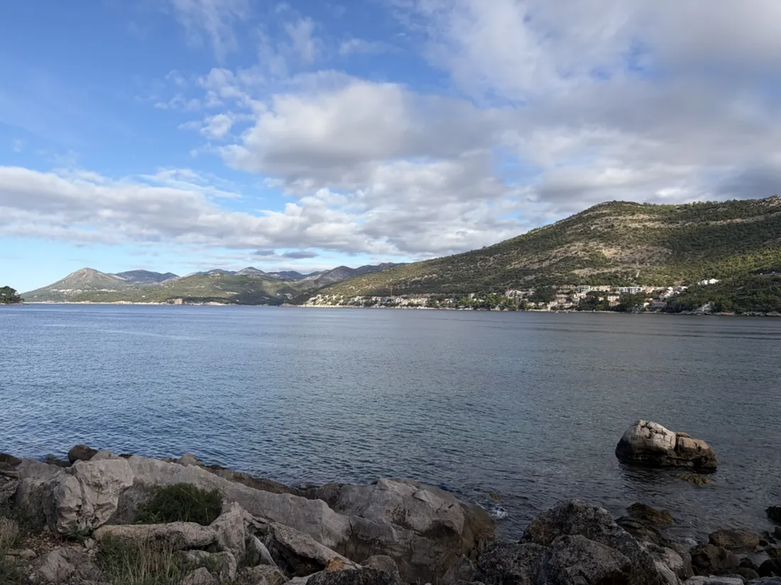
Dubrovnik: an 8.1 km run from Babin Kuk through Lapad
An 8.1 km Dubrovnik running loop from Babin Kuk along the northern waterfront and Lapadska obala, returning through Lapad. Recorded with NomadTracks, with six geotagged photos, a route map, elevation profile and GPX download.
8 km · 91 m up
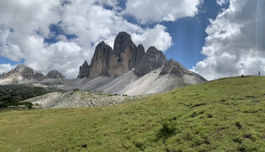
Dürrensee to the Drei Zinnen: a Dolomites classic
16.7 km through the heart of the Sextner Dolomiten — from Lake Dürrensee up to the Tre Cime di Lavaredo, recorded with NomadTracks.
17 km · 978 m up
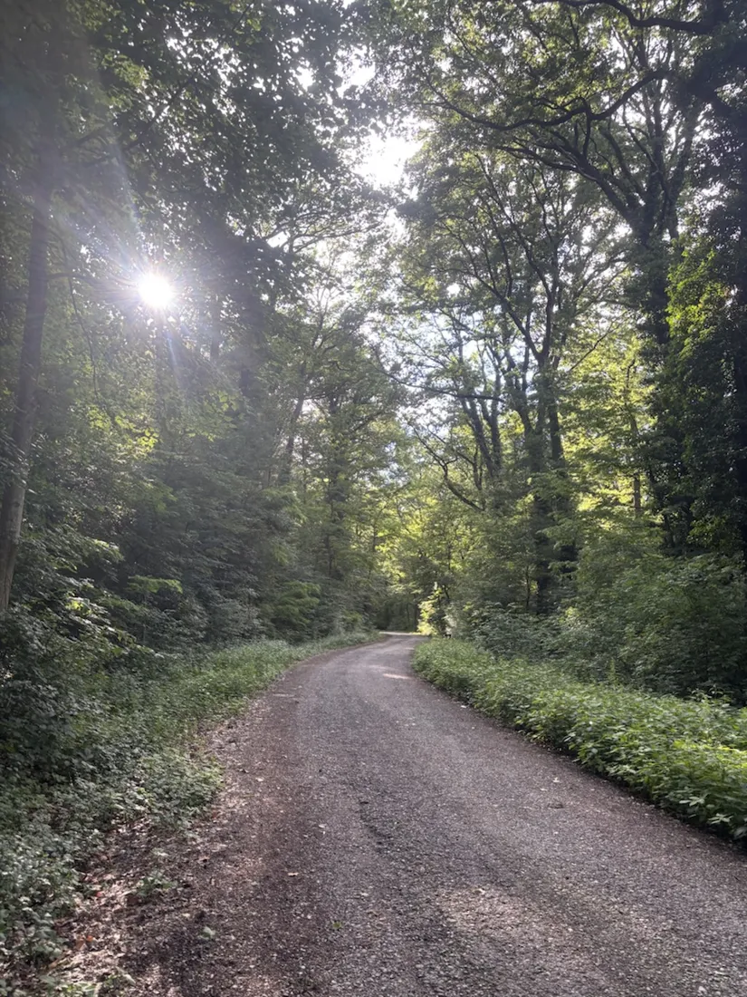
Maurer Wald loop: a 9.7 km trail run on the edge of Vienna
A 9.7 km trail-running loop through the Maurer Wald on the southwestern rim of Vienna — gravel forest roads, a meadow clearing and a climb to the vineyards above the city. Recorded with NomadTracks.
10 km · 218 m up
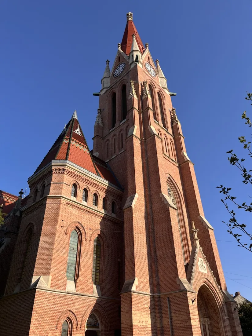
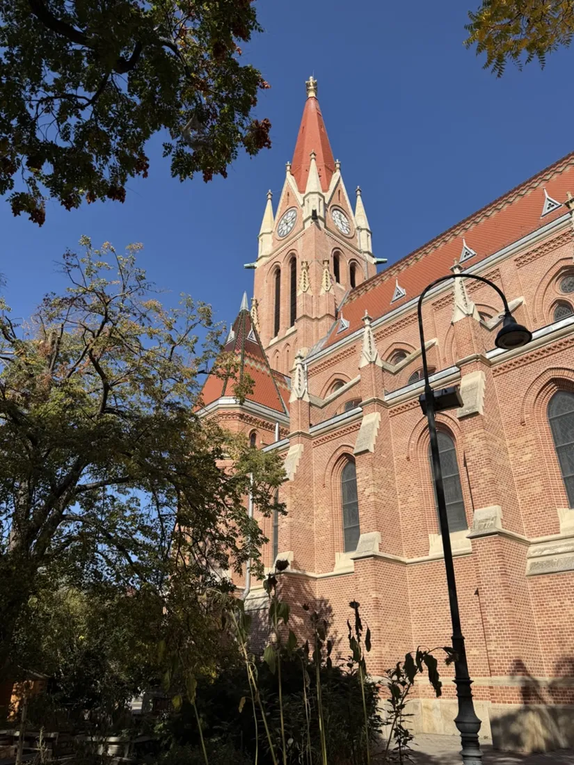
Steinhof and the golden dome: a 9.7 km evening run in Vienna
A 9.7 km evening running loop through Penzing in Vienna — from the brick towers of Breitensee up through the Otto Wagner hospital grounds to the golden dome of the Kirche am Steinhof, past the Spiegelgrund memorial and back below the Allianz Stadion. Recorded with NomadTracks.
10 km · 103 m up
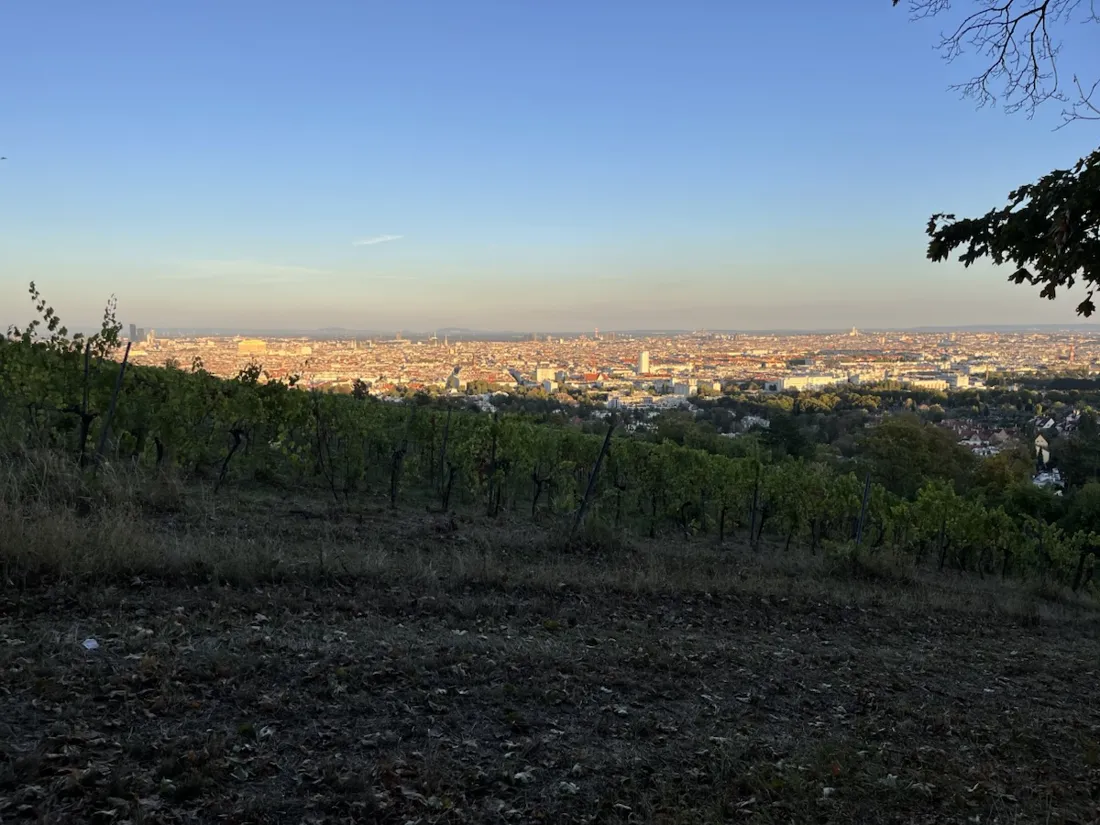
Wilhelminenberg by evening: a 10.2 km run over Vienna’s western hills
A 10.2 km evening running loop over the hills west of Vienna — past a listed 1890s reservoir in Penzing, up the 88 steps of the Paulinensteig to Schloss Wilhelminenberg, along a working vineyard with the whole city below it, then down through the Sandleitenhof to Austria’s oldest football ground. Recorded with NomadTracks.
10 km · 171 m up
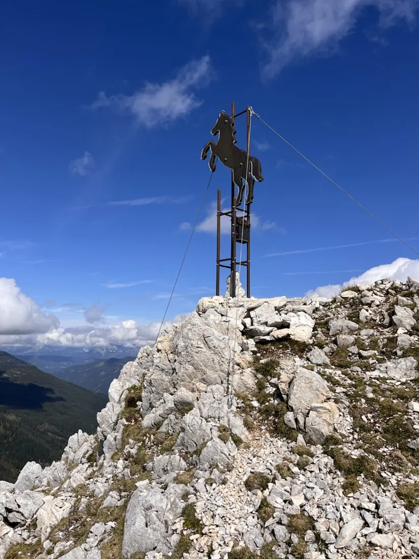
Over the Hengst to the Wildsee: 18.6 km in the Radstädter Tauern
An 18.6 km mountain loop from the Gnadenalm above Untertauern in Salzburg — past the shuttered Südwiener Hütte, over the Hengst with its stallion summit marker, along the high traverse under the Pleißlingkeile to the Wildsee, and down past the Felseralm and the 60-metre Johanneswasserfall. Recorded with NomadTracks.
19 km · 1,060 m up
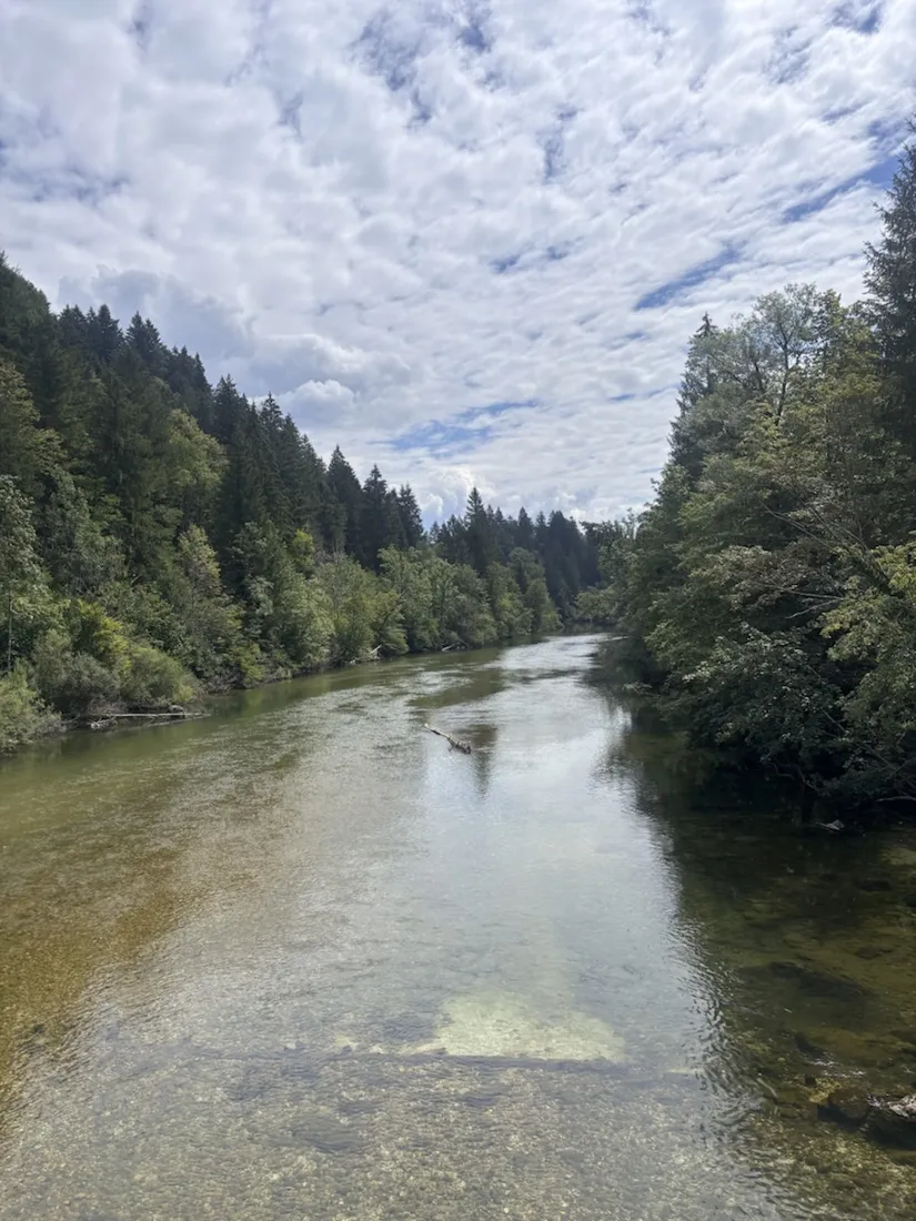
Camping Šobec and the birth of the Sava: a 7 km morning run
A flat 7 km morning run around Slovenia's largest campsite, Šobec near Lesce — tracing the confluence where the Sava Dolinka and Sava Bohinjka meet to form the Sava, over the Bodeški most and along river beaches. Recorded with NomadTracks.
7 km · 49 m up
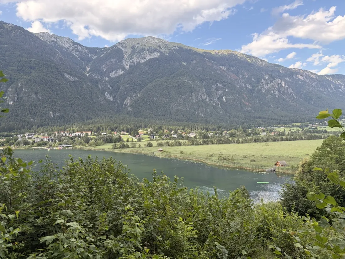
The Slow Trail around the Pressegger See: a 5.7 km reed-belt loop
A flat 5.7 km run on the marked Slow Trail around the Pressegger See near Hermagor in Carinthia — a loop through the second-largest reed belt in Austria, beside one of the country's warmest swimming lakes, framed by the Gailtal and Carnic Alps. Recorded with NomadTracks.
6 km · 46 m up
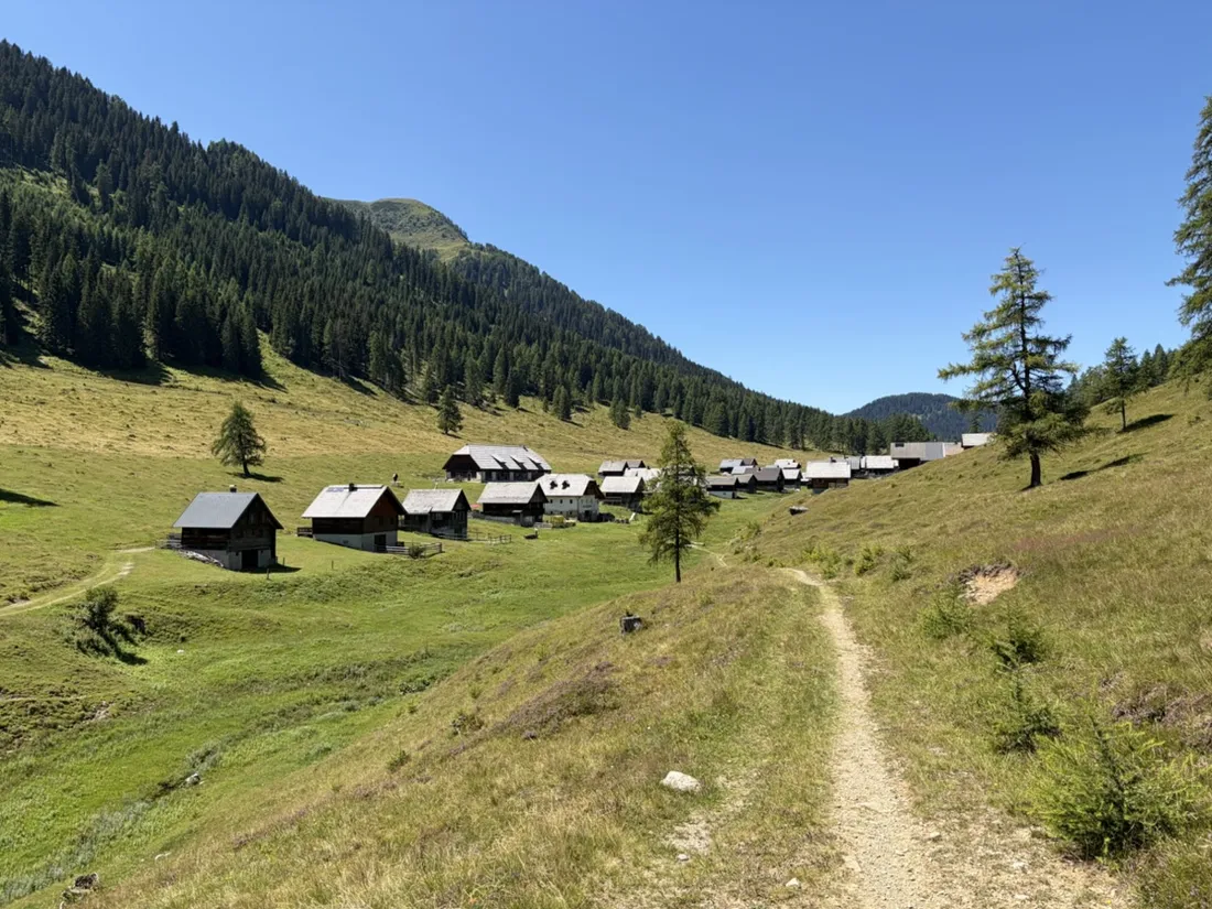
Vorderberg to the Dellacher Alm: a wild 13 km off-trail climb in the Carnic Alps
A wild, unmarked 13 km climb from Vorderberg in the Gailtal up to the Latschacher and Dellacher alpine pastures in the Carnic Alps. A recorded track to look at, NOT to follow — it crosses trackless forest and high grass, and the Vorderberger Klamm gorge at the start is officially closed. Recorded with NomadTracks.
13 km · 927 m up
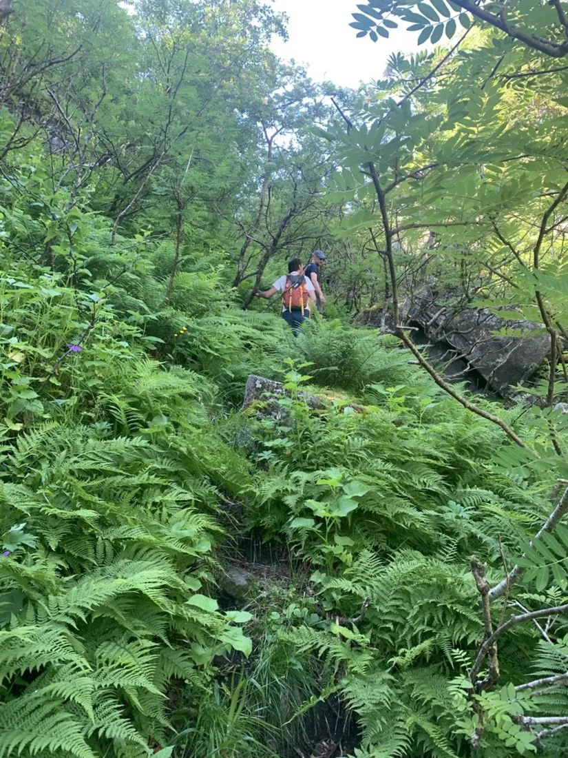
Lofoten lake hike: 9.6 km through Norway's green wilderness
A gentle 9.6 km hike around a hidden mountain lake in the Lofoten islands — lush valleys, still water and granite walls, recorded with NomadTracks.
10 km · 95 m up
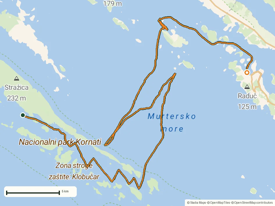
Sailing the Šibenik archipelago: 69 nautical-style kilometers under sail
A day of island-hopping under sail through the Šibenik archipelago in Croatia, recorded as a GPS track from the cockpit.
69 km · 0 m up
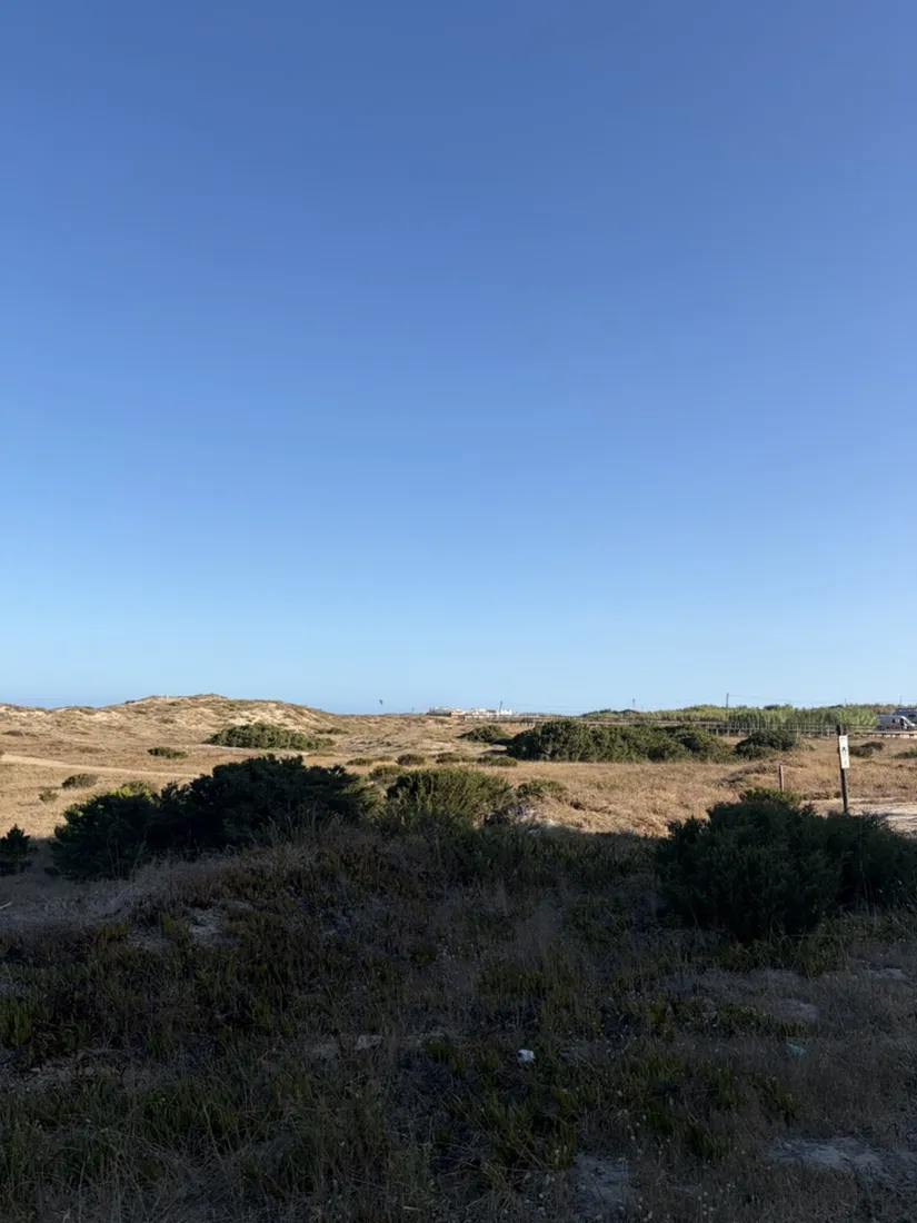
Baleal: a 5.6 km morning run out to Peniche's old whaling island
A 5.6 km out-and-back morning run along the dunes north of Peniche, across the sand isthmus and out onto Baleal island — folded Jurassic limestone, a 16th-century fishermen's chapel and two beaches that face opposite ways. Recorded with NomadTracks.
6 km · 25 m up
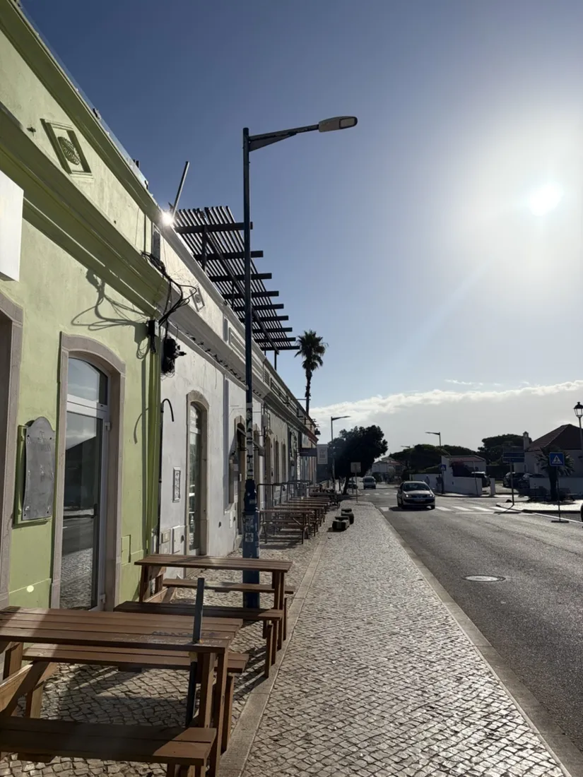
Sagres: a 4.8 km morning loop around the Algarve’s last headland
A 4.8 km morning run around the Sagres promontory in Portugal’s western Algarve — past the Baleeira fishing harbour, along the clifftops above Praia da Mareta and out to the plateau by the Fortaleza de Sagres above Praia do Tonel. Recorded with NomadTracks.
5 km · 29 m up
Record your own
Every map and chart on these pages came straight out of the app — free on the App Store and Google Play.