Running · Baleal, Peniche, Portugal · recorded with NomadTracks
Baleal: a 5.6 km morning run out to Peniche's old whaling island
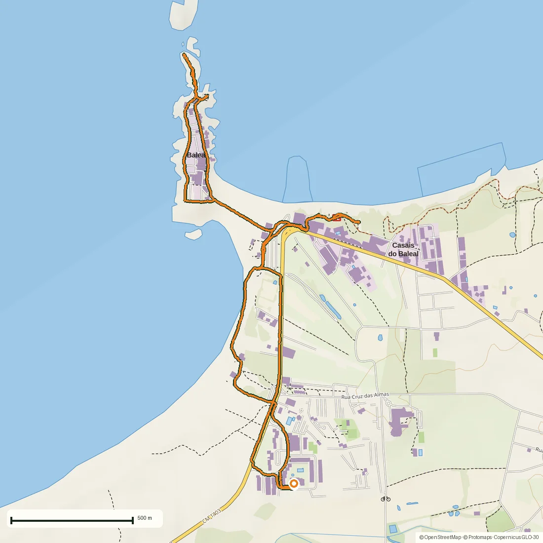
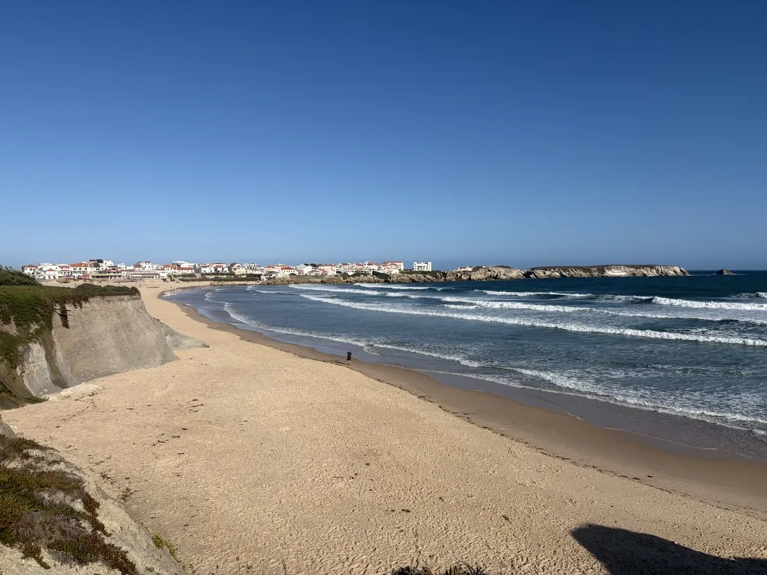
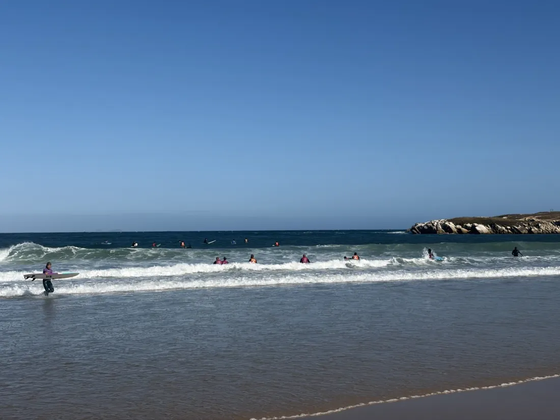
Baleal is a former island: a knuckle of Jurassic limestone three kilometres north of Peniche, tied to the mainland by a tombolo — a bar of sand the sea built itself. This is a 5.6-kilometer out-and-back along that coast, run early on an August morning before the surf schools filled the water.
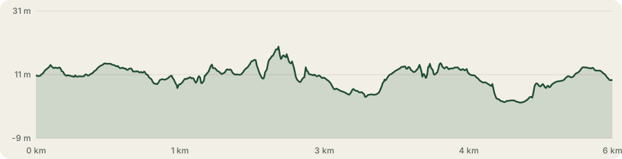
Nowhere more than about 20 meters above the sea, and 25 meters of climbing in the whole thing — dune paths, a few rock steps and the ramp up onto the island. Forty-two minutes out and back, at a comfortable 7:30 per kilometer.
About this data: this track and its photos were personally shared with us as samples by a NomadTracks user. NomadTracks never uploads, collects or shares your tracks or photos — your recordings stay on your devices and in your own cloud.
Download GPX Coordinates, elevation and relative times — recording dates are normalized out, photos not included.
Dunes, then the isthmus
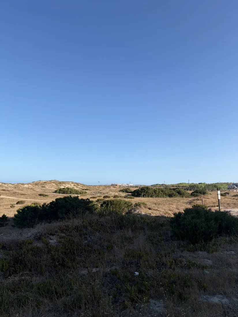
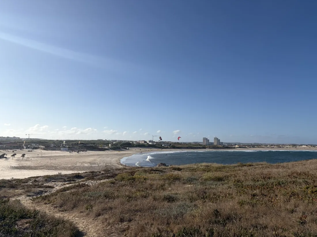
The first half runs north on sand and dune path, with the Atlantic on the left the whole way and Peniche’s peninsula closing the bay behind. Then the land narrows to almost nothing — the tombolo — and the run crosses onto what used to be an island. The village sits on that neck of sand, which is why Baleal has two beaches facing opposite directions: when the wind ruins one, you walk fifty meters and the other is clean.
Whales, then surfboards
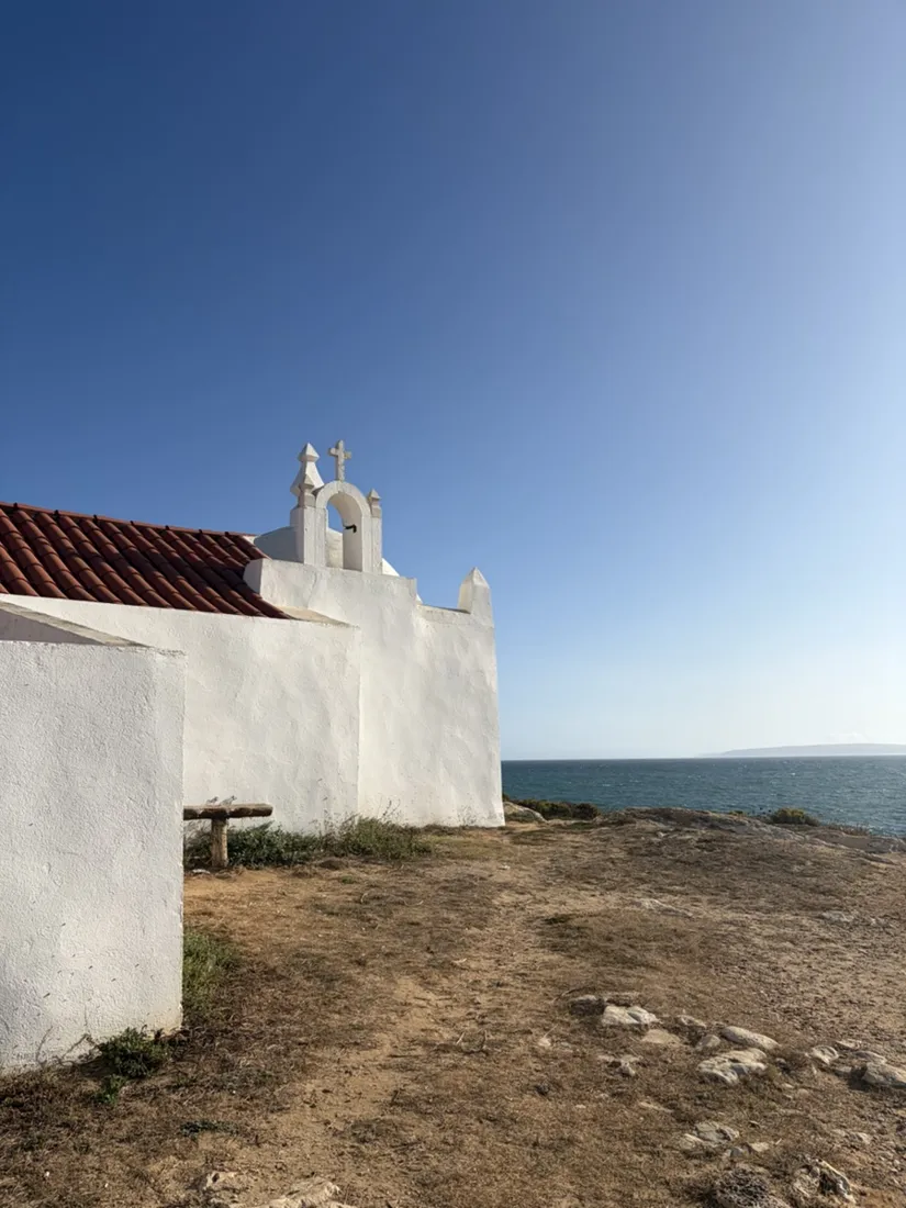
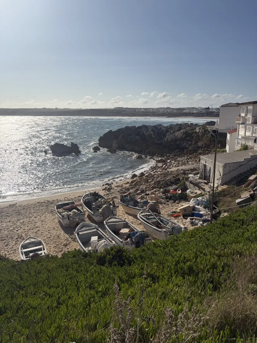
The name is the giveaway: baleia is Portuguese for whale, and this rock was where whalers cut up their catch as the animals passed on their way north. The trade died when sand silted the channel and the boats could no longer get in — the same sand the road now runs on. On the high point stands the Ermida de Santo Estêvão, a small 16th-century chapel to the patron saint of fishermen, its single nave lined with 17th- and 18th-century azulejos.
A coastline with a golden spike in it
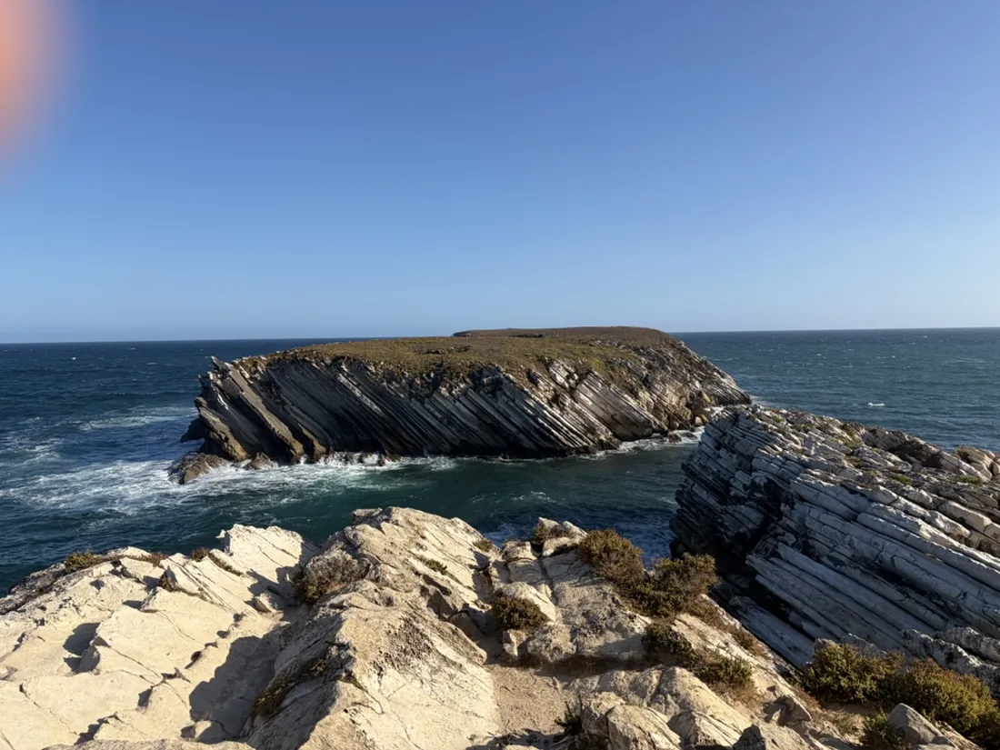
The strata at the island’s tip stand almost on end, and they are not just scenery. Peniche preserves an unbroken succession of Lower Jurassic carbonates, and in December 2014 the International Commission on Stratigraphy made Ponta do Trovão, on the peninsula’s north coast, the global reference point for the base of the Toarcian stage — the “golden spike,” set in a ceremony in July 2016. Every runner here is going past about twenty million years of seafloor, tipped up on edge.
Why this coast is the beginners’ one
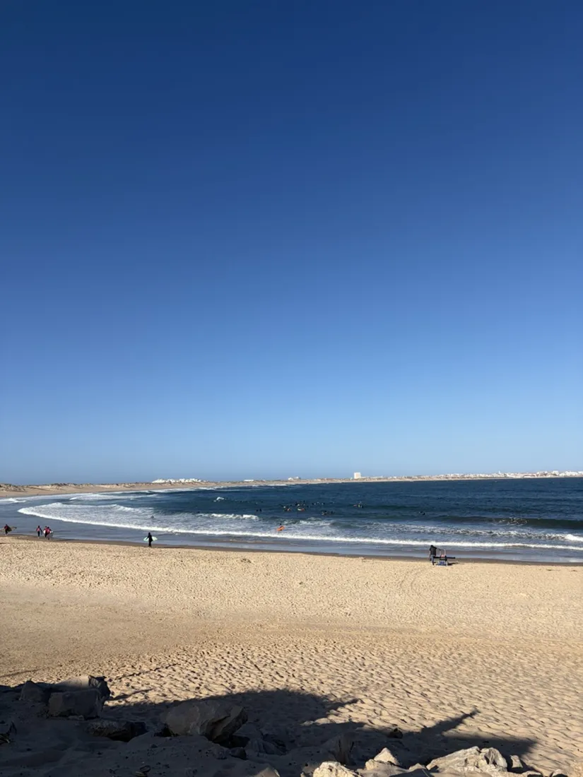
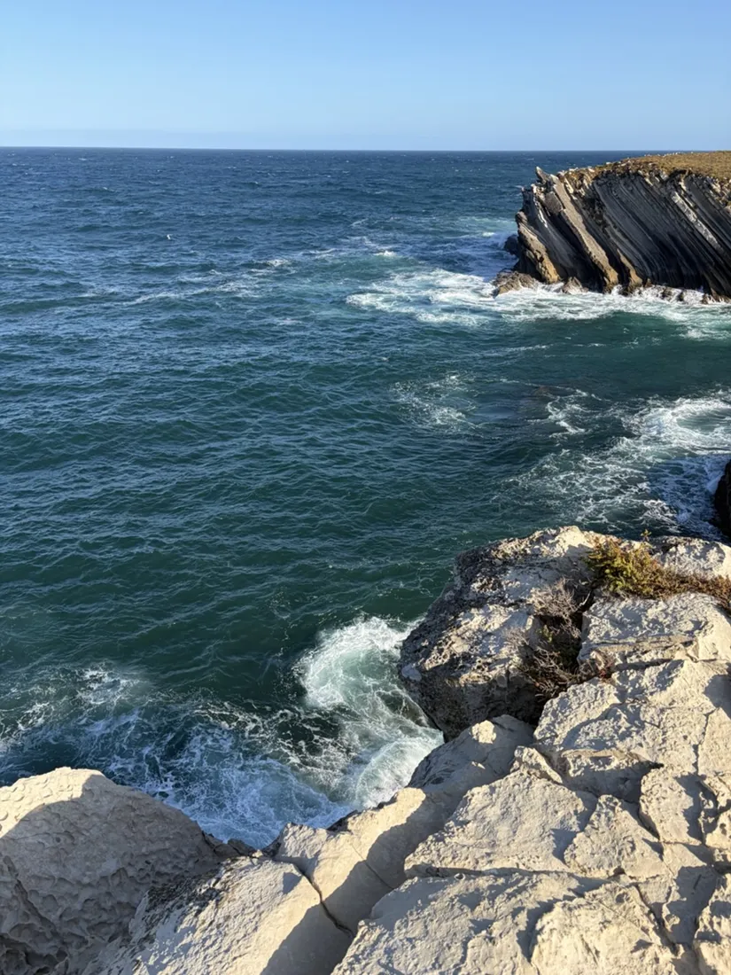
Peniche is famous for Supertubos, but that is the southwest-facing side taking the full swell. Baleal faces northeast into the bay and gets the gentler, more forgiving version, which is why the surf schools are all here. On the run it shows as a slow change in the water: heavy and dark off the island’s outer edge, then orderly little lines of whitewater as soon as you turn back into the bay.
About the place: Baleal, Peniche, Portugal
Baleal lies about three kilometres north of Peniche in Portugal’s Oeste region, roughly an hour and a half north of Lisbon. It is a former island now joined to the mainland by a tombolo, and the village sits on that sand neck with a beach on either side — Praia do Baleal Norte and Praia do Baleal Sul — facing opposite ways. Peniche itself has the same story on a larger scale: it was an island too, and its own isthmus is what made it a peninsula. The bay side is the gentle water and the home of the surf schools; the exposed southwest coast is where Supertubos breaks. Summer mornings are the quiet window — by ten the north beach belongs to the schools.
What the recording is good for
This is a holiday run, not an expedition — and that is rather the point. The saved track is the exact line along the dunes, the elevation profile shows the few small rises onto the island, and the photos sit on the map where they were taken: the chapel, the boats, the tilted strata. Next summer it is a route to repeat rather than a morning to half-remember.
Get NomadTracks free — iOS & Android
More track stories
- Overlanding Namibia: 4,250 km from the Kalahari to the Kunene
- Mount Whitney in two days: 24 km to the roof of the Lower 48
- Grant Park, the Bean & the Museum Campus: a 10.5 km Chicago run
- A morning run through downtown Chicago: 9.7 km past Navy Pier and the lakefront
- Running Lincoln's Springfield: 8.8 km through the Illinois capital
- Camps Bay to Table Mountain: the steep way up Cape Town's icon
- Dürrensee to the Drei Zinnen: a Dolomites classic
- Sagres: a 4.8 km morning loop around the Algarve’s last headland
- Maurer Wald loop: a 9.7 km trail run on the edge of Vienna
- Camping Šobec and the birth of the Sava: a 7 km morning run
- The Slow Trail around the Pressegger See: a 5.7 km reed-belt loop
- Vorderberg to the Dellacher Alm: a wild 13 km off-trail climb in the Carnic Alps
- Sailing the Šibenik archipelago: 69 nautical-style kilometers under sail
- Canoeing Caddo Lake: 9 km through a flooded cypress forest
- Mount Shasta mountain-bike loop: 28.6 km of volcano singletrack
- Lofoten lake hike: 9.6 km through Norway's green wilderness
- Cinder Cone, Lassen Volcanic NP: a 6 km climb up a perfect volcano
- Tugela Falls hike: Sentinel route, GPX and coordinates
- The Olive Trail, Namib-Naukluft: 10.9 km through a desert canyon
- Mount St. Helens: 16 km through the blast zone to the viewpoints
- Double O Arch via Devils Garden: 12 km through Arches' fin country
- The everyday loop: 12 km of redwoods and fog above Redwood City
- Lake Tahoe rim ride: 28 km of singletrack above the blue
- Dewey Point in winter: 12 km on snowshoes to Yosemite's quiet rim
- Pinnacles High Peaks loop: 12 km among the condor spires
- Golden Canyon to Zabriskie badlands: 6 km below sea level
- Hoh Rain Forest: a 4 km walk through the moss cathedral
- Oahu waterfall trail: 5 km of mud, roots and jungle
- Riding to Lake Helen: 17 km up a closed park road through the snow
- Phillips Cave: a 6.5 km walk to Namibia's White Elephant rock art
- Koiimasis: 9 km through the granite of the Tiras Mountains
- Cathedral Gorge: a short ride through Nevada's clay cathedral
- Riding Black Rock City: the GPS trace of a city that doesn't exist
- Peekaboo Loop, Bryce Canyon: 15 km among the hoodoos
- Steinhof and the golden dome: a 9.7 km evening run in Vienna
- Wilhelminenberg by evening: a 10.2 km run over Vienna’s western hills