Hiking · Lofoten, Norway · recorded with NomadTracks
Lofoten lake hike: 9.6 km through Norway's green wilderness
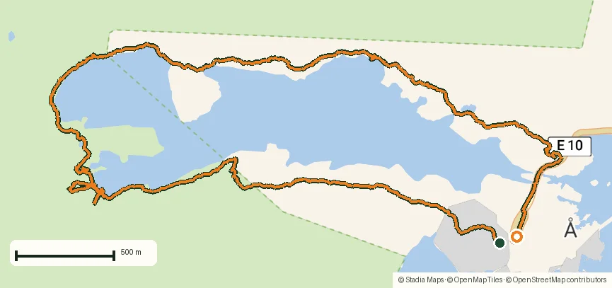
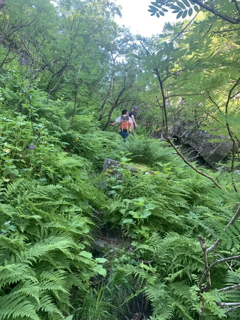
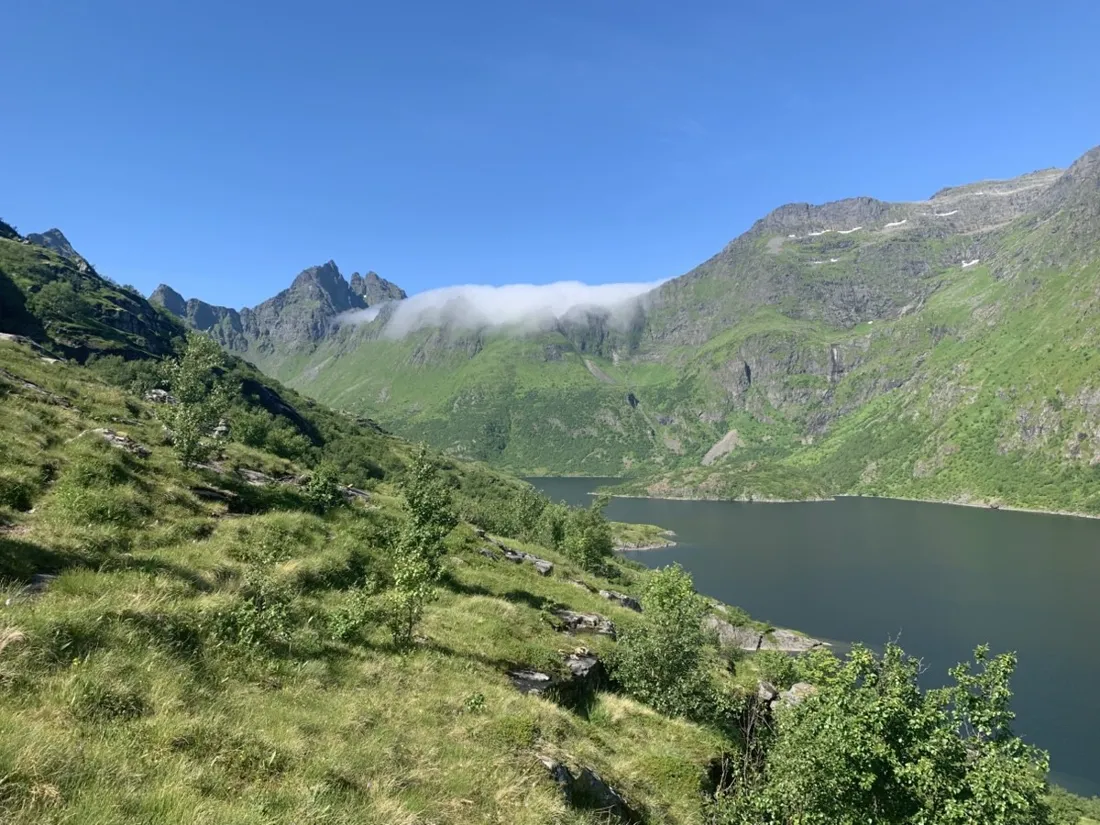
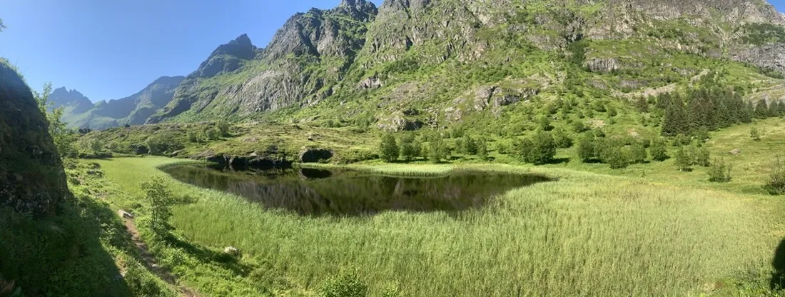
Lofoten above the Arctic Circle is improbably green in summer: meadows running straight into granite, lakes that double every mountain. This easy 9.6 km loop wanders around one of those hidden lakes — barely 100 m of climbing, and a view every single minute of it.
About this data: this track and its photos were personally shared with us as samples by a NomadTracks user. NomadTracks never uploads, collects or shares your tracks or photos — your recordings stay on your devices and in your own cloud.
Download GPX Coordinates, elevation and relative times — recording dates are normalized out, photos not included.

Easy distance, endless light
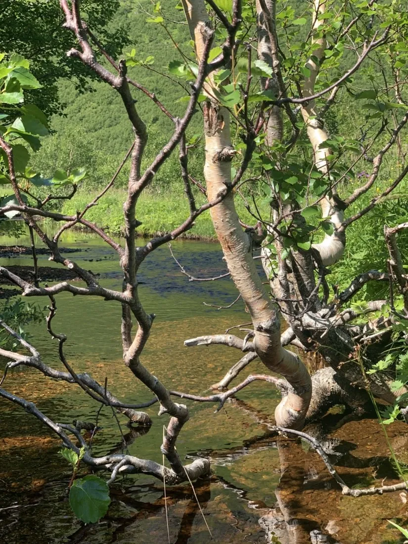
Under the midnight-sun sky, time-of-day stops mattering — and the recorded track quietly keeps the facts straight: when you started, how long you actually lingered at the second beach, where that photo of the reflected wall was taken.
Soggy ground, dry data
Lofoten trails braid around bogs, and the braids confuse memory. The recorded line shows which fork stayed dry — gold for the return leg and for the friends who borrow your GPX afterwards.
About the place: Lofoten, Norway
The Lofoten archipelago lies above the Arctic Circle in northern Norway, where the Gulf Stream keeps summer valleys impossibly green beneath black granite walls. From June to mid-July the midnight sun removes every time constraint from hiking; trails are often boggy and braided, and the E10 road makes trailheads easy to reach by car or bus.
Get NomadTracks free on the App Store
More track stories
- Overlanding Namibia: 4,250 km from the Kalahari to the Kunene
- Mount Whitney in two days: 24 km to the roof of the Lower 48
- Grant Park, the Bean & the Museum Campus: a 10.5 km Chicago run
- A morning run through downtown Chicago: 9.7 km past Navy Pier and the lakefront
- Running Lincoln's Springfield: 8.8 km through the Illinois capital
- Camps Bay to Table Mountain: the steep way up Cape Town's icon
- Dürrensee to the Drei Zinnen: a Dolomites classic
- Maurer Wald loop: a 9.7 km trail run on the edge of Vienna
- Camping Šobec and the birth of the Sava: a 7 km morning run
- Sailing the Šibenik archipelago: 69 nautical-style kilometers under sail
- Canoeing Caddo Lake: 9 km through a flooded cypress forest
- Mount Shasta mountain-bike loop: 28.6 km of volcano singletrack
- Cinder Cone, Lassen Volcanic NP: a 6 km climb up a perfect volcano
- Drakensberg amphitheatre: 13 km to the top of Tugela Falls
- The Olive Trail, Namib-Naukluft: 10.9 km through a desert canyon
- Mount St. Helens: 16 km through the blast zone to the viewpoints
- Double O Arch via Devils Garden: 12 km through Arches' fin country
- The everyday loop: 12 km of redwoods and fog above Redwood City
- Lake Tahoe rim ride: 28 km of singletrack above the blue
- Dewey Point in winter: 12 km on snowshoes to Yosemite's quiet rim
- Pinnacles High Peaks loop: 12 km among the condor spires
- Golden Canyon to Zabriskie badlands: 6 km below sea level
- Hoh Rain Forest: a 4 km walk through the moss cathedral
- Oahu waterfall trail: 5 km of mud, roots and jungle
- Riding to Lake Helen: 17 km up a closed park road through the snow
- Phillips Cave: a 6.5 km walk to Namibia's White Elephant rock art
- Koiimasis: 9 km through the granite of the Tiras Mountains
- Cathedral Gorge: a short ride through Nevada's clay cathedral
- Riding Black Rock City: the GPS trace of a city that doesn't exist
- Peekaboo Loop, Bryce Canyon: 15 km among the hoodoos