Hiking · Death Valley National Park, California, USA · recorded with NomadTracks
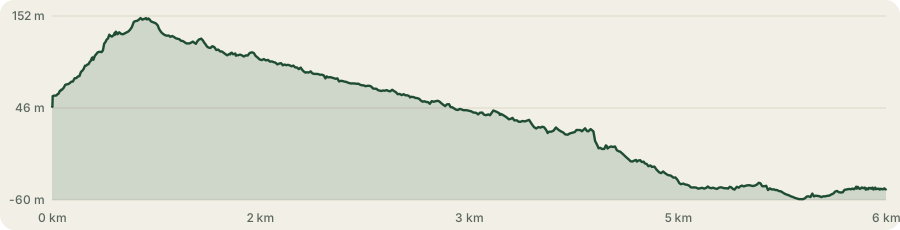
Golden Canyon to Zabriskie badlands: 6 km below sea level
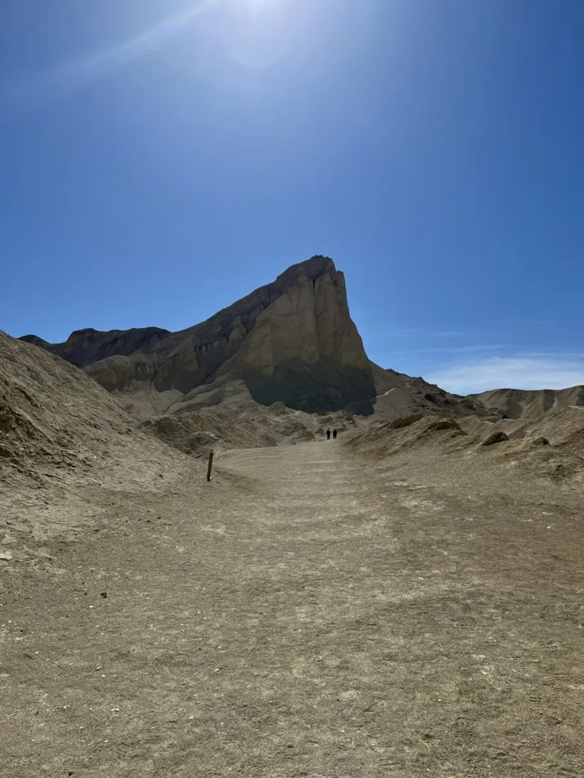
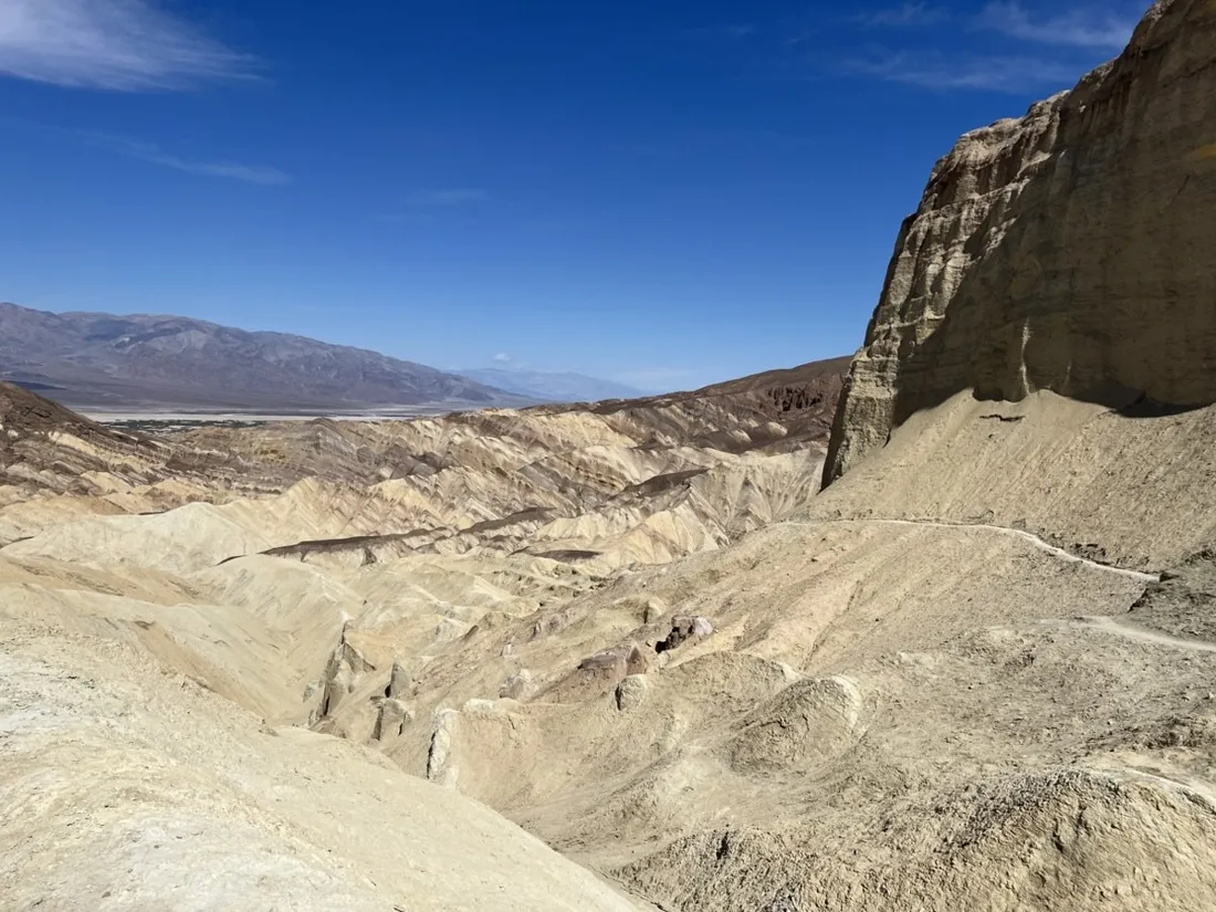
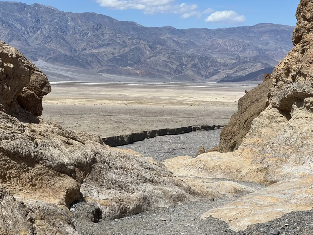
Golden Canyon is Death Valley's classic introduction: 6.2 km through glowing yellow narrows and out into badlands that look borrowed from another planet — much of it below sea level, all of it bone dry.
About this data: this track and its photos were personally shared with us as samples by a NomadTracks user. NomadTracks never uploads, collects or shares your tracks or photos — your recordings stay on your devices and in your own cloud.
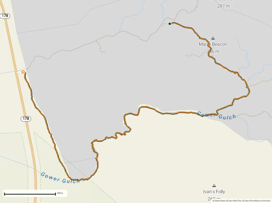
Download GPX Coordinates, elevation and relative times — recording dates are normalized out, photos not included.
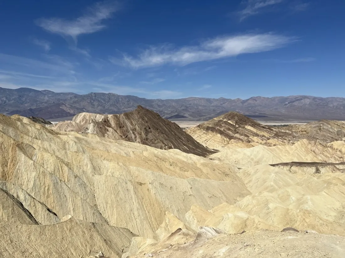
A maze that all looks the same
Badlands erode into endlessly repeating ridges; the washes between them are interchangeable. This is terrain where the recorded line earns its keep — every junction in the maze is solved by glancing at where you've already been.
Go at dawn
The recording's timestamps tell the strategy: start in the cool blue hour, be out of the canyon before the walls turn into an oven. In summer this is a sunrise-only hike.
About the place: Death Valley National Park, California, USA
Golden Canyon opens off Badwater Road in Death Valley National Park, California, a few minutes south of Furnace Creek — much of the loop toward the Zabriskie badlands runs below sea level. Hiking season is October through April; in summer the park advises against any canyon hiking after morning. There is no shade and no water, and the badlands' repeating ridges are famously disorienting.
Get NomadTracks free — iOS & Android
More track stories
- Overlanding Namibia: 4,250 km from the Kalahari to the Kunene
- Mount Whitney in two days: 24 km to the roof of the Lower 48
- Grant Park, the Bean & the Museum Campus: a 10.5 km Chicago run
- A morning run through downtown Chicago: 9.7 km past Navy Pier and the lakefront
- Running Lincoln's Springfield: 8.8 km through the Illinois capital
- Camps Bay to Table Mountain: the steep way up Cape Town's icon
- Dürrensee to the Drei Zinnen: a Dolomites classic
- Baleal: a 5.6 km morning run out to Peniche's old whaling island
- Sagres: a 4.8 km morning loop around the Algarve’s last headland
- Maurer Wald loop: a 9.7 km trail run on the edge of Vienna
- Camping Šobec and the birth of the Sava: a 7 km morning run
- The Slow Trail around the Pressegger See: a 5.7 km reed-belt loop
- Vorderberg to the Dellacher Alm: a wild 13 km off-trail climb in the Carnic Alps
- Sailing the Šibenik archipelago: 69 nautical-style kilometers under sail
- Canoeing Caddo Lake: 9 km through a flooded cypress forest
- Mount Shasta mountain-bike loop: 28.6 km of volcano singletrack
- Lofoten lake hike: 9.6 km through Norway's green wilderness
- Cinder Cone, Lassen Volcanic NP: a 6 km climb up a perfect volcano
- Tugela Falls hike: Sentinel route, GPX and coordinates
- The Olive Trail, Namib-Naukluft: 10.9 km through a desert canyon
- Mount St. Helens: 16 km through the blast zone to the viewpoints
- Double O Arch via Devils Garden: 12 km through Arches' fin country
- The everyday loop: 12 km of redwoods and fog above Redwood City
- Lake Tahoe rim ride: 28 km of singletrack above the blue
- Dewey Point in winter: 12 km on snowshoes to Yosemite's quiet rim
- Pinnacles High Peaks loop: 12 km among the condor spires
- Hoh Rain Forest: a 4 km walk through the moss cathedral
- Oahu waterfall trail: 5 km of mud, roots and jungle
- Riding to Lake Helen: 17 km up a closed park road through the snow
- Phillips Cave: a 6.5 km walk to Namibia's White Elephant rock art
- Koiimasis: 9 km through the granite of the Tiras Mountains
- Cathedral Gorge: a short ride through Nevada's clay cathedral
- Riding Black Rock City: the GPS trace of a city that doesn't exist
- Peekaboo Loop, Bryce Canyon: 15 km among the hoodoos
- Steinhof and the golden dome: a 9.7 km evening run in Vienna
- Wilhelminenberg by evening: a 10.2 km run over Vienna’s western hills