Hiking · Sierra Nevada, California, USA · recorded with NomadTracks
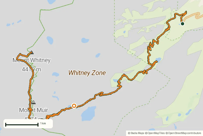
Mount Whitney in two days: 24 km to the roof of the Lower 48
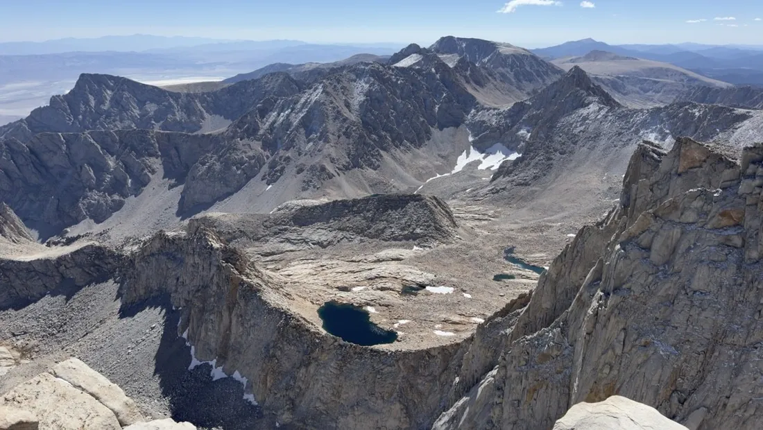
Mount Whitney is the highest peak in the contiguous United States — 4,421 m — and the two-day itinerary is the sane way up: day one climbs about 1,160 m to a camp near Trail Camp, day two tops out over the famous 99 switchbacks and brings you all the way back down.
Both days were recorded as separate tracks. The elevation charts tell the story better than words: a relentless, beautifully graded staircase of granite.
About this data: this track and its photos were personally shared with us as samples by a NomadTracks user. NomadTracks never uploads, collects or shares your tracks or photos — your recordings stay on your devices and in your own cloud.
Download GPX Coordinates, elevation and relative times — recording dates are normalized out, photos not included.

Day 1 — Whitney Portal to high camp
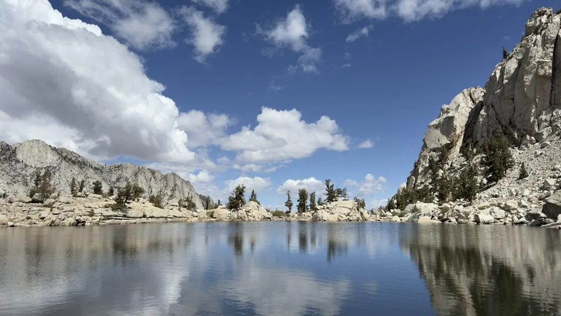
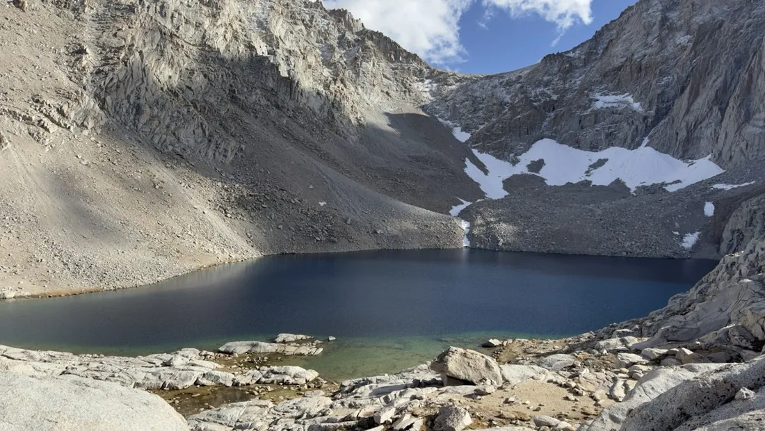
11 km and roughly 1,160 m up through Lone Pine Lake, Outpost Camp and Mirror Lake. The track's pace chart shows exactly where the altitude starts to bite — useful honesty when you're deciding whether to push to Trail Camp or stop early.
Day 2 — switchbacks, summit, and the long way down
13.5 km with about 860 m of gain to the summit plateau, then everything back down in one go. Recording ran the whole day on a single charge; the saved track now doubles as a planning reference for friends asking about timing the switchbacks before the afternoon wind.
Permits and timing
Whitney requires a lottery permit in season. GPS-wise: the trail is obvious, but the recorded track proved its worth on the descent in fading light, when tired legs and look-alike granite benches make wrong turns easy.
About the place: Sierra Nevada, California, USA
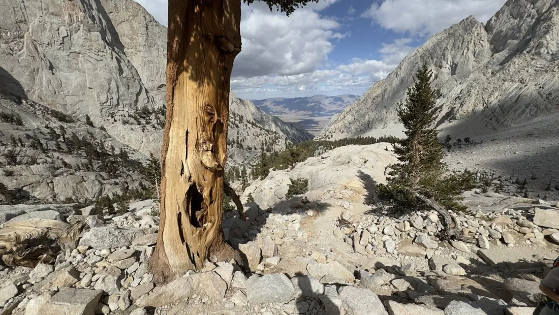
Mount Whitney (4,421 m) stands at the eastern edge of the Sierra Nevada above the town of Lone Pine, California. The Mount Whitney Trail starts at Whitney Portal (2,550 m); day and overnight permits are issued by lottery on recreation.gov each spring, and the main season runs July to September once the 99 switchbacks are free of ice. Altitude, not distance, is the real opponent — most successful two-day itineraries camp near Trail Camp at 3,650 m.
Get NomadTracks free on the App Store
More track stories
- Overlanding Namibia: 4,250 km from the Kalahari to the Kunene
- Grant Park, the Bean & the Museum Campus: a 10.5 km Chicago run
- A morning run through downtown Chicago: 9.7 km past Navy Pier and the lakefront
- Running Lincoln's Springfield: 8.8 km through the Illinois capital
- Camps Bay to Table Mountain: the steep way up Cape Town's icon
- Dürrensee to the Drei Zinnen: a Dolomites classic
- Maurer Wald loop: a 9.7 km trail run on the edge of Vienna
- Camping Šobec and the birth of the Sava: a 7 km morning run
- Sailing the Šibenik archipelago: 69 nautical-style kilometers under sail
- Canoeing Caddo Lake: 9 km through a flooded cypress forest
- Mount Shasta mountain-bike loop: 28.6 km of volcano singletrack
- Lofoten lake hike: 9.6 km through Norway's green wilderness
- Cinder Cone, Lassen Volcanic NP: a 6 km climb up a perfect volcano
- Drakensberg amphitheatre: 13 km to the top of Tugela Falls
- The Olive Trail, Namib-Naukluft: 10.9 km through a desert canyon
- Mount St. Helens: 16 km through the blast zone to the viewpoints
- Double O Arch via Devils Garden: 12 km through Arches' fin country
- The everyday loop: 12 km of redwoods and fog above Redwood City
- Lake Tahoe rim ride: 28 km of singletrack above the blue
- Dewey Point in winter: 12 km on snowshoes to Yosemite's quiet rim
- Pinnacles High Peaks loop: 12 km among the condor spires
- Golden Canyon to Zabriskie badlands: 6 km below sea level
- Hoh Rain Forest: a 4 km walk through the moss cathedral
- Oahu waterfall trail: 5 km of mud, roots and jungle
- Riding to Lake Helen: 17 km up a closed park road through the snow
- Phillips Cave: a 6.5 km walk to Namibia's White Elephant rock art
- Koiimasis: 9 km through the granite of the Tiras Mountains
- Cathedral Gorge: a short ride through Nevada's clay cathedral
- Riding Black Rock City: the GPS trace of a city that doesn't exist
- Peekaboo Loop, Bryce Canyon: 15 km among the hoodoos