Track stories · USA
Track stories from the USA
From the highest summit of the Lower 48 to a canoe maze on the Texas–Louisiana border: these seventeen recordings cross eight states and seven national parks. The pattern that repeats everywhere: the park hands you a great paper map at the gate, and NomadTracks turns it into the live map you actually navigate with.
All tracks and photos were personally shared with us as samples by a NomadTracks user. NomadTracks never uploads or shares your recordings.
By region: USA · Namibia · Europe · South Africa
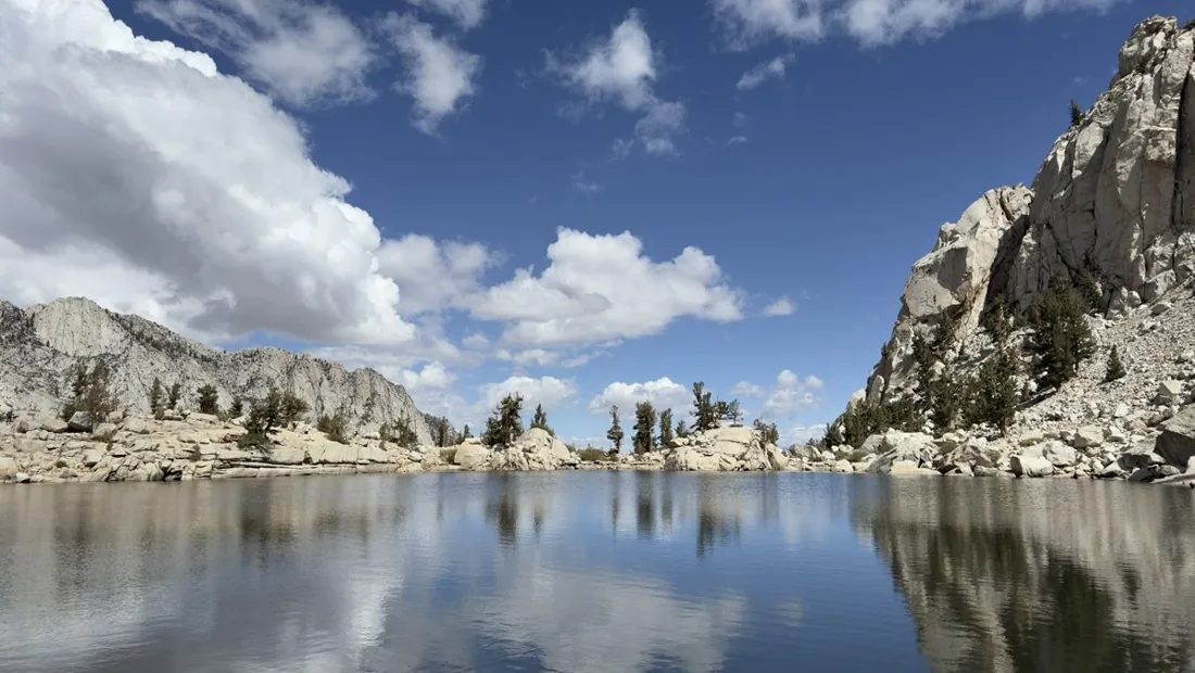
Mount Whitney in two days: 24 km to the roof of the Lower 48
The classic two-day ascent of Mount Whitney (4,421 m) via the Mount Whitney Trail — recorded with full elevation profiles.
25 km · 2,024 m up
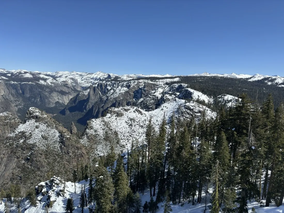
Dewey Point in winter: 12 km on snowshoes to Yosemite's quiet rim
A 12.4 km winter snowshoe tour from Badger Pass to Dewey Point, ending at a snow-corniced rim with El Capitan straight across Yosemite Valley.
12 km · 292 m up
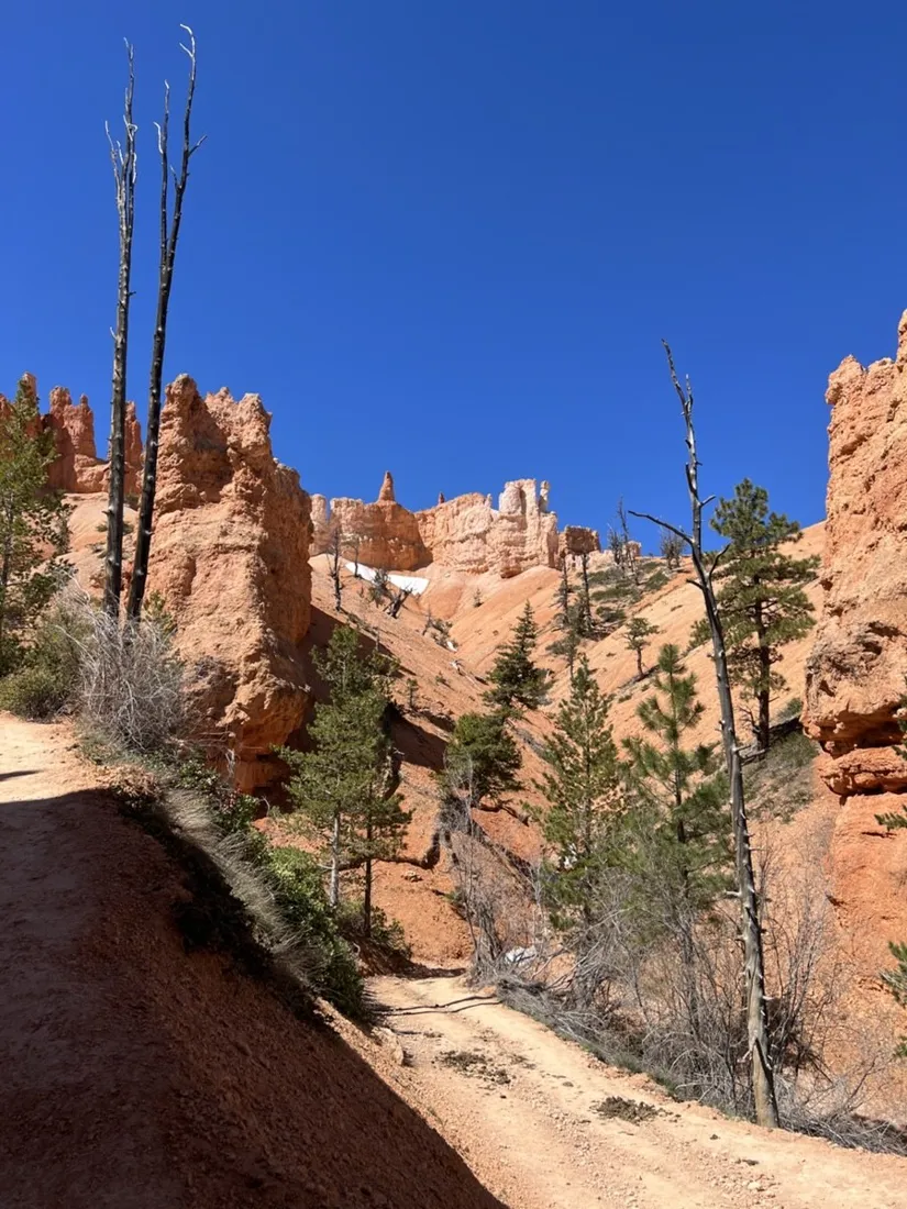
Peekaboo Loop, Bryce Canyon: 15 km among the hoodoos
The Peekaboo Loop with Queens Garden and Navajo Trail in Bryce Canyon — 14.9 km and 890 m of climbing through hoodoo amphitheaters.
15 km · 893 m up
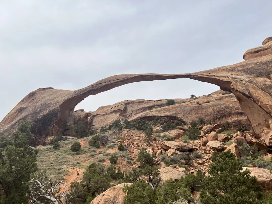
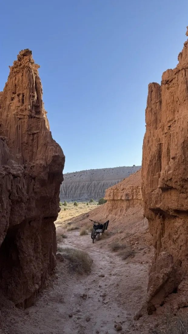
Double O Arch via Devils Garden: 12 km through Arches' fin country
The Devils Garden trail to Double O Arch in Arches National Park — 12.3 km over sandstone fins past Landscape Arch, recorded with NomadTracks.
12 km · 501 m up
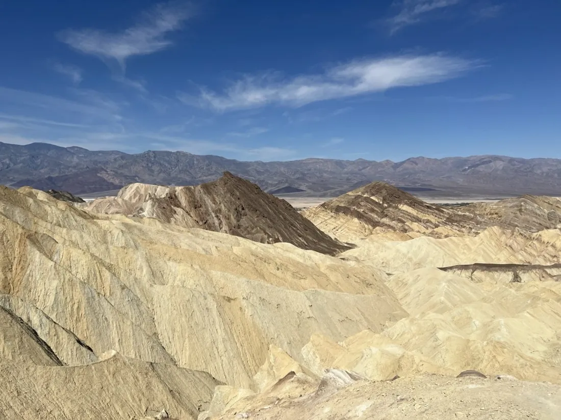
Golden Canyon to Zabriskie badlands: 6 km below sea level
A 6.2 km loop through Golden Canyon and the badlands of Death Valley — golden walls, Red Cathedral and moon terrain, recorded with NomadTracks.
6 km · 134 m up
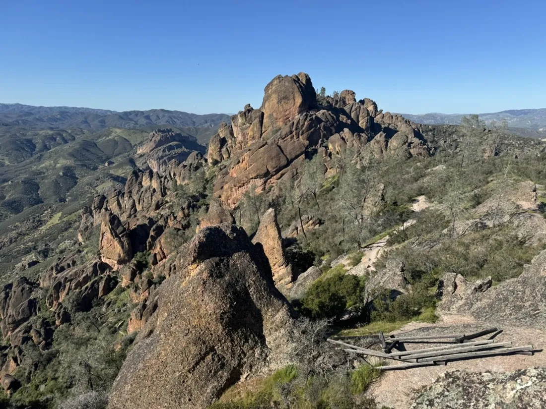
Pinnacles High Peaks loop: 12 km among the condor spires
A 12.1 km loop through the High Peaks of Pinnacles National Park — volcanic spires, carved stairways and condor country, recorded with NomadTracks.
12 km · 574 m up
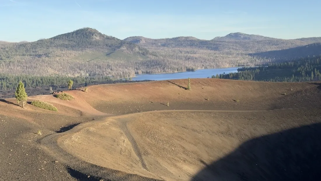
Cinder Cone, Lassen Volcanic NP: a 6 km climb up a perfect volcano
The Cinder Cone trail in Lassen Volcanic National Park — 6 km, 263 m up loose volcanic gravel to a crater rim above the Painted Dunes, recorded with NomadTracks.
6 km · 263 m up
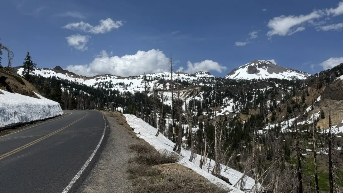
Riding to Lake Helen: 17 km up a closed park road through the snow
A 17 km spring ride up Lassen's still-closed park highway to Lake Helen — empty asphalt between snowbanks, recorded with NomadTracks.
17 km · 381 m up
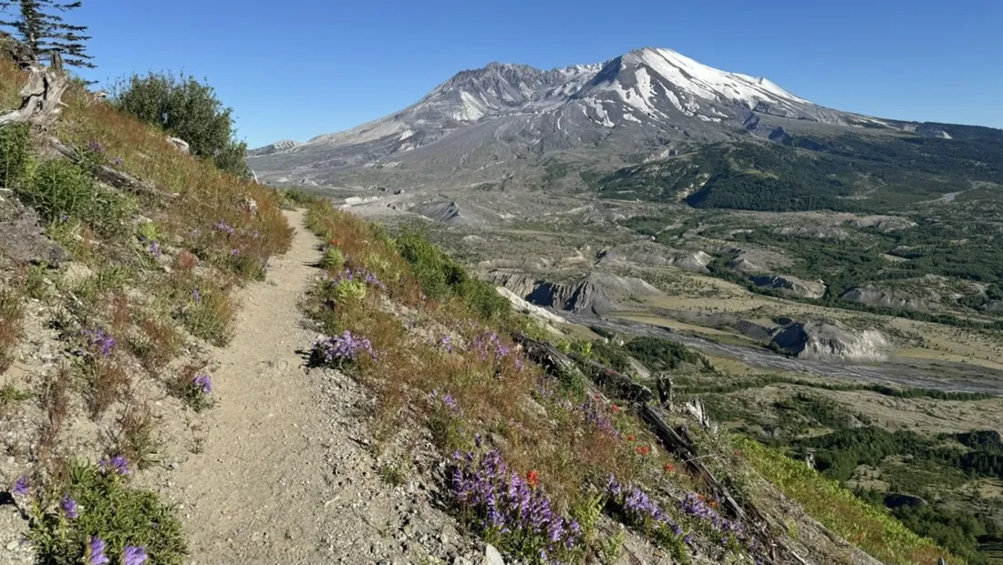
Mount St. Helens: 16 km through the blast zone to the viewpoints
A 16.2 km hike through the hummocks and lupine meadows of the Mount St. Helens blast zone, with the crater in view nearly the whole way.
16 km · 608 m up
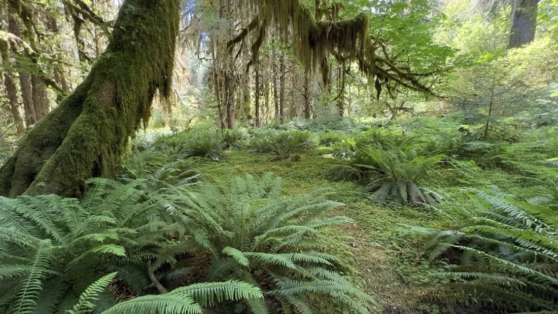
Hoh Rain Forest: a 4 km walk through the moss cathedral
A short 3.6 km walk through the Hoh Rain Forest in Olympic National Park — moss-draped maples, nurse logs and rainforest silence, recorded with NomadTracks.
4 km · 30 m up
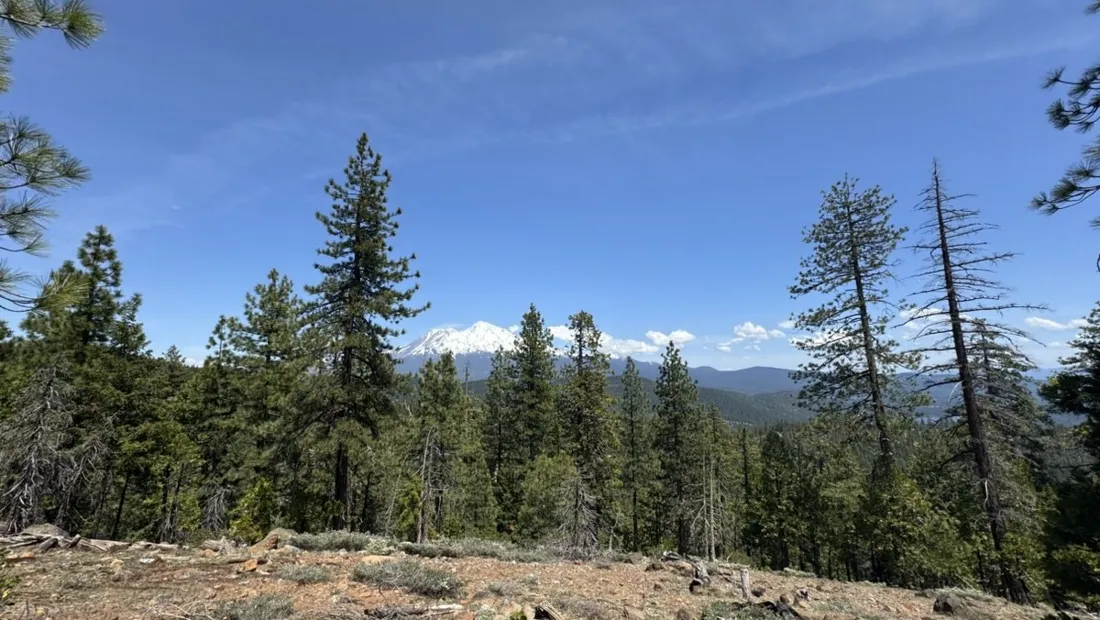
Mount Shasta mountain-bike loop: 28.6 km of volcano singletrack
A 28.6 km mountain-bike loop with 750 m of climbing through the pine forests below Mount Shasta, California.
29 km · 750 m up
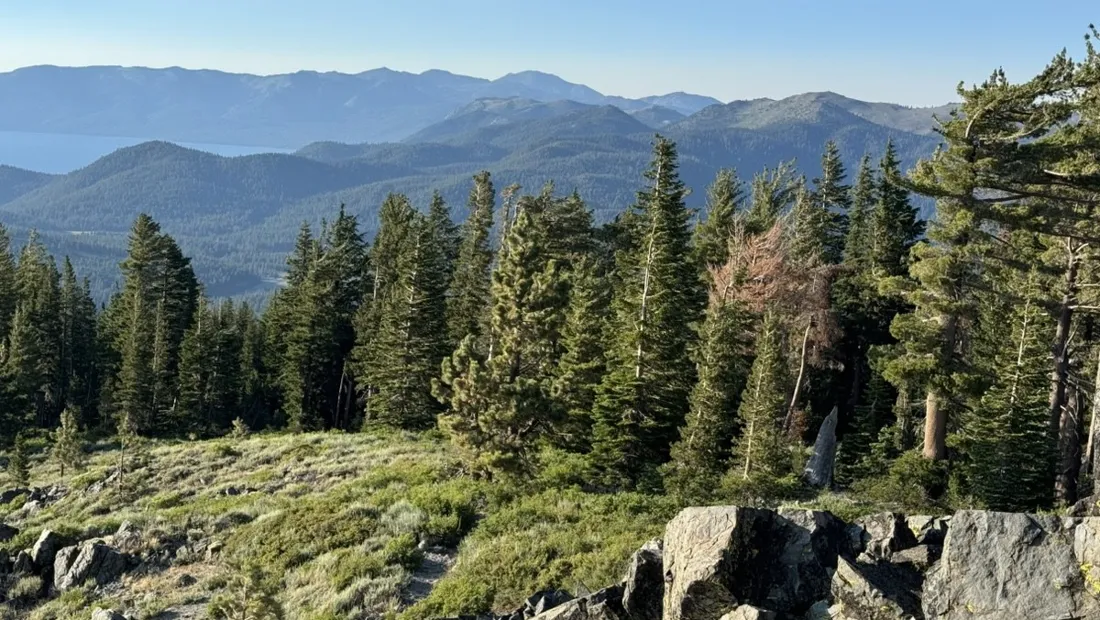
Lake Tahoe rim ride: 28 km of singletrack above the blue
A 28.1 km mountain-bike ride on the trails above Lake Tahoe — 700 m of climbing through pine forest and granite, with the lake flashing blue between the trees.
28 km · 699 m up
Cathedral Gorge: a short ride through Nevada's clay cathedral
A 5.5 km spin through Cathedral Gorge State Park, Nevada — bentonite clay spires, slot canyons you can walk into, and a bike as the perfect park shuttle.
5 km · 26 m up
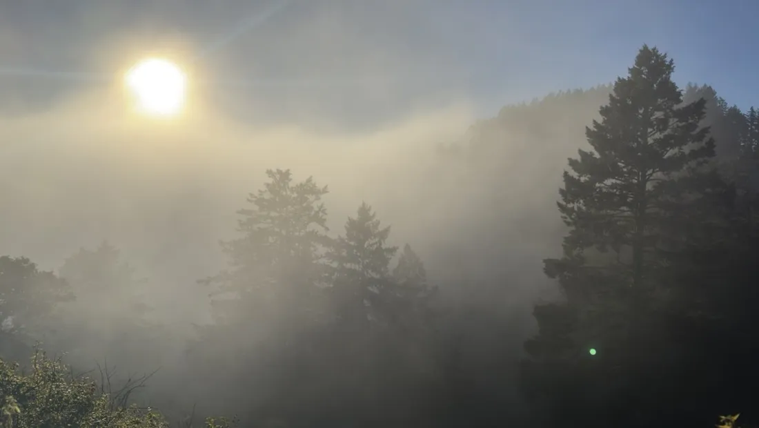
The everyday loop: 12 km of redwoods and fog above Redwood City
An after-work North Ridge Trail loop in the Bay Area hills — 11.8 km through redwoods, rhododendrons and rolling coastal fog. Not every recorded track needs to be an expedition.
12 km · 536 m up
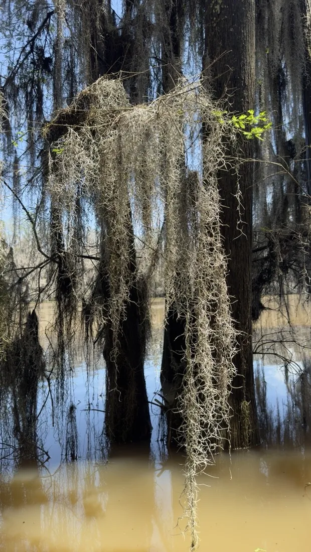
Canoeing Caddo Lake: 9 km through a flooded cypress forest
A 9 km canoe track through the moss-draped cypress maze of Caddo Lake on the Texas–Louisiana border.
9 km · 85 m up
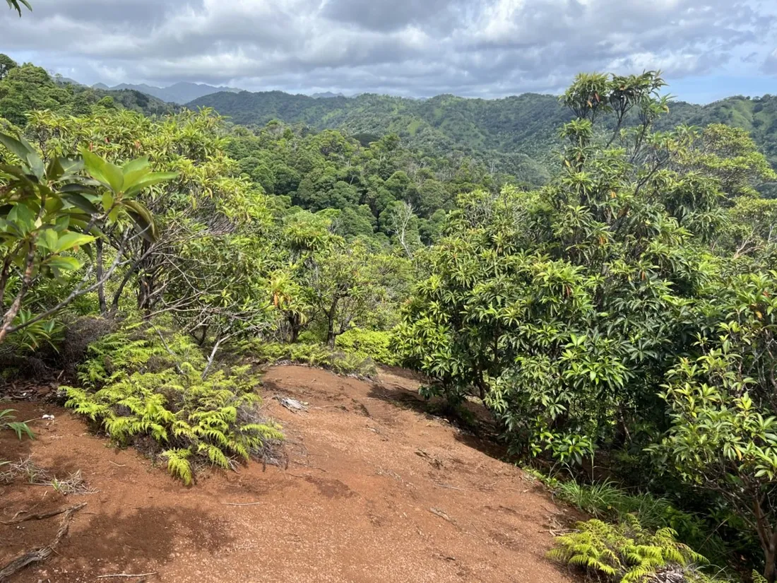
Oahu waterfall trail: 5 km of mud, roots and jungle
A 4.7 km rainforest hike to a waterfall on Oahu, Hawaii — red dirt, banyan roots and jungle ridgelines, recorded with NomadTracks.
5 km · 177 m up
Riding Black Rock City: the GPS trace of a city that doesn't exist
A 9.7 km bike ride across the playa of Black Rock City — the temporary circular city of Burning Man, drawn street by street in a GPS track that outlives the city itself.
10 km · 30 m up
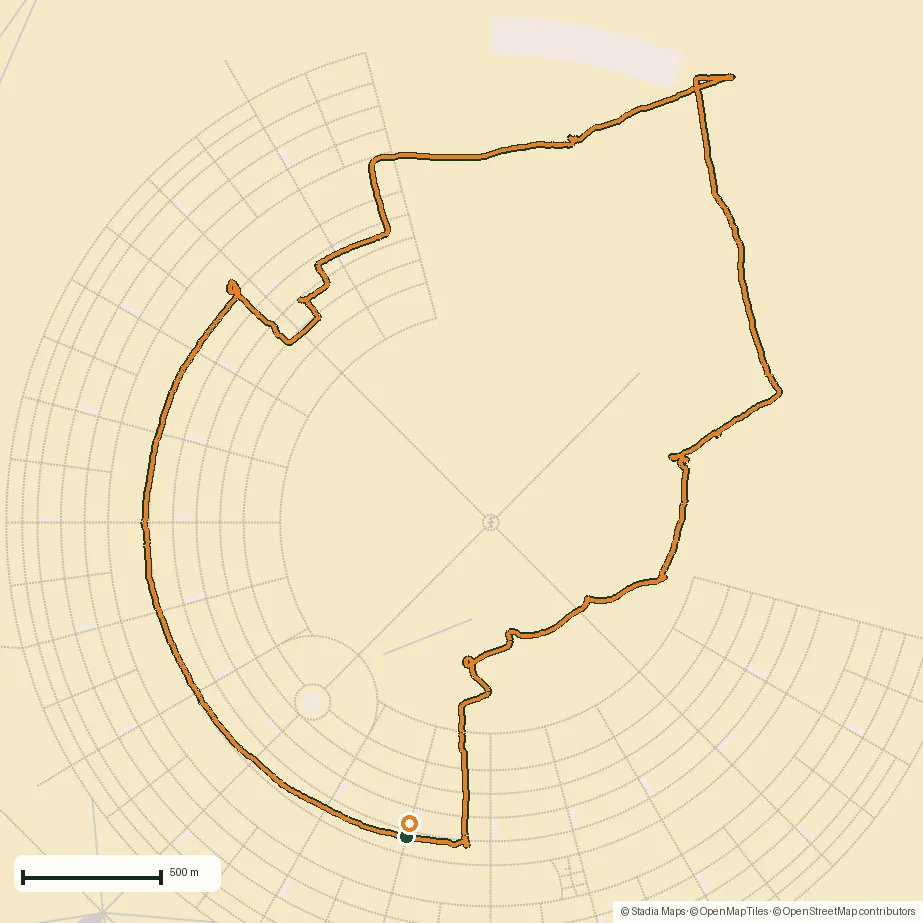
A morning run through downtown Chicago: 9.7 km past Navy Pier and the lakefront
A flat 9.7 km morning loop through downtown Chicago — the Magnificent Mile, Navy Pier's Centennial Wheel, the lakefront trail and Ohio Street Beach. Recorded with NomadTracks.
10 km · 8 m up
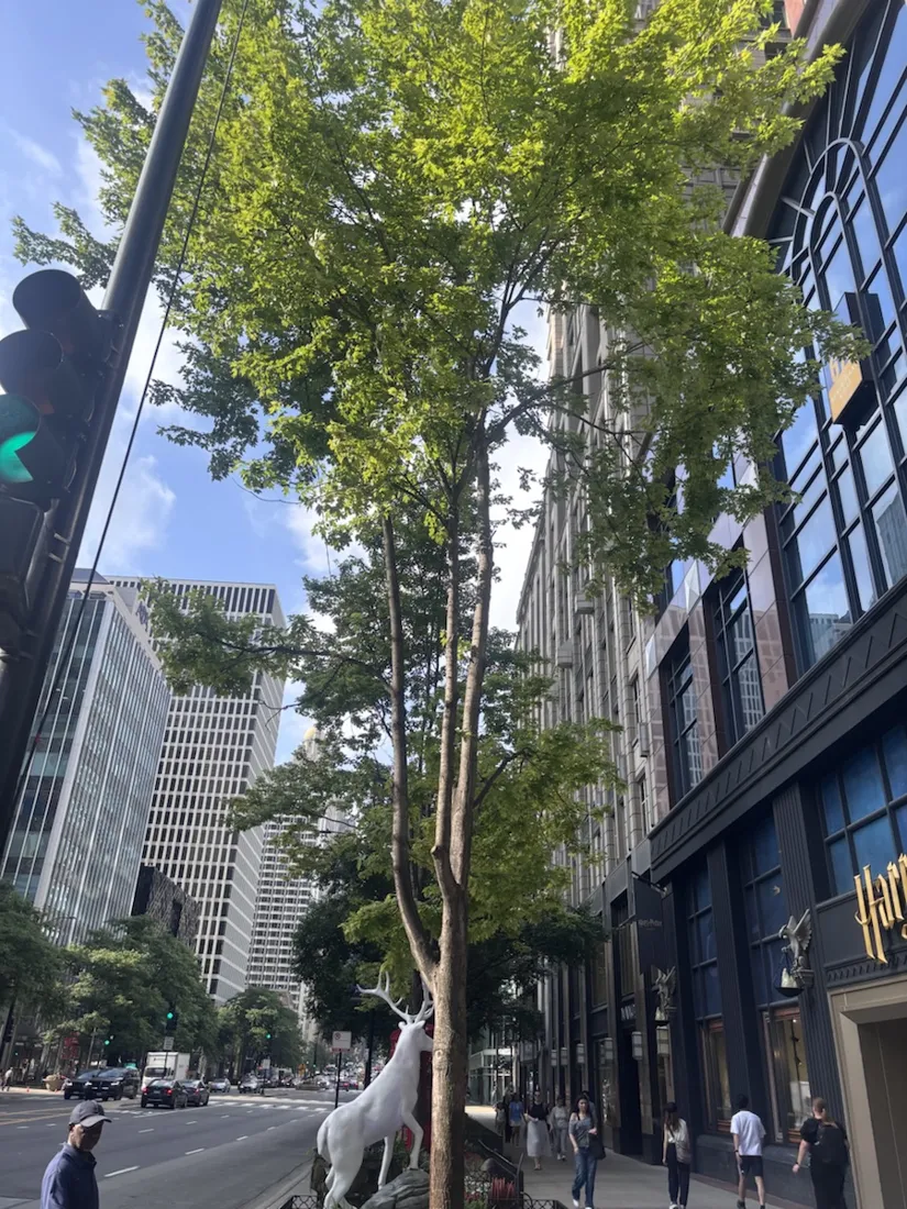
Grant Park, the Bean & the Museum Campus: a 10.5 km Chicago run
A flat 10.5 km run through the heart of Chicago — Grant Park and Buckingham Fountain, the Museum Campus and the Field Museum, Cloud Gate (“the Bean”) in Millennium Park, and back along the river. Recorded with NomadTracks.
11 km · 17 m up

Running Lincoln's Springfield: 8.8 km through the Illinois capital
An 8.8 km morning run through Springfield, Illinois — past the Railyard, the bronze Lincoln family, a five-story Lincoln mural and the domed Illinois State Capitol. Recorded with NomadTracks.
9 km · 4 m up
Record your own
Every map and chart on these pages came straight out of the app — free on the App Store.