NomadTracks for hiking & trekking
The hiking tracker that carries your paper maps
Hiking is where NomadTracks was born: precise tracks with honest elevation data, points of interest for springs and viewpoints, and the signature trick — your trail map, hut sketch or national-park handout georeferenced as a live overlay with your position on it.
Phone in the pocket, watch on the wrist, or both: recording runs all day, offline, with live stats on the Lock Screen.
Elevation you can trust
Accurate gain and loss plus full elevation, speed and pace charts for every hike — drag across the chart to relive any kilometer.
The hut map, alive
Photograph the trail map at the trailhead, set four control points, and navigate the rest of the day on the official map with a live blue dot.
Summit-day endurance
Records all day on one charge, completely offline. Live Activities keep distance and altitude on the Lock Screen — no unlocking with gloves.
From the field
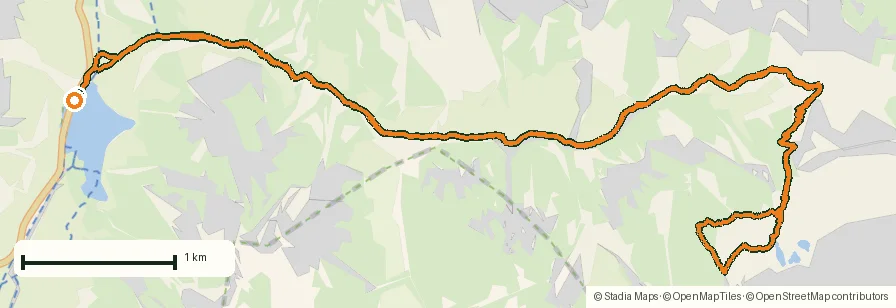
Real recordings, real places
Tap a photo or map to open the full track story — route, elevation profile and GPX download included.
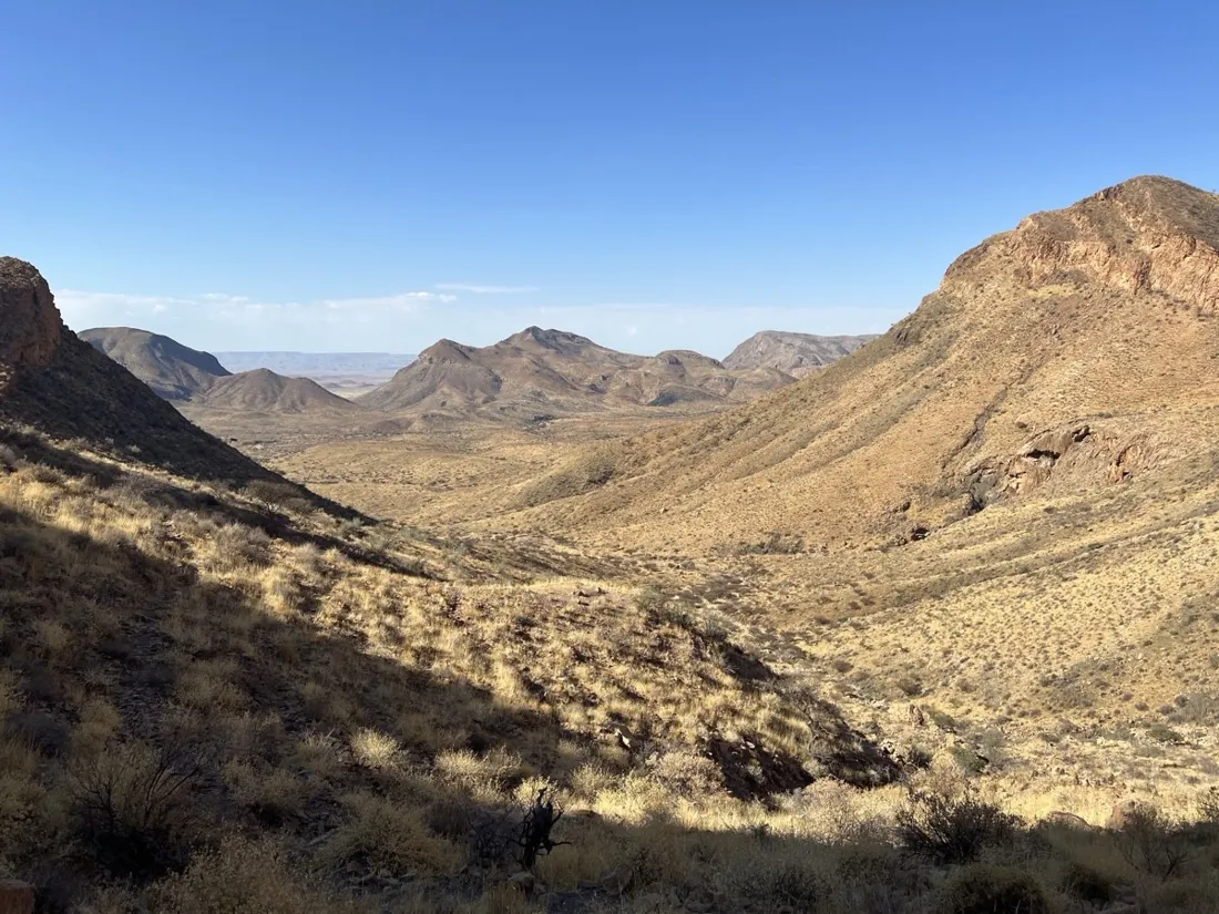
Where a hiking tracker earns its keep
On a waymarked town trail almost anything works. A hiking GPS app earns its place on the days that aren't that: an unsigned junction in fog, a national park where the only good map is the paper one at the gate, a faint use-trail that forks three times before the summit. That's where an honest recorded line and a live position on the right map turn a guess into a glance.
NomadTracks was built hiking-first, so the details that matter on foot are the ones it gets right: elevation gain you can trust, a pace chart that shows exactly where the climb bit, photo waypoints for the spring and the viewpoint, and a track you can hand to a friend as a GPX before they attempt the same route.
Built for the parks and hills without signal
Great hiking tends to happen where the bars run out. Everything that matters in NomadTracks works with the radio off — recording, your loaded tracks and POIs, and every custom map, because they're stored on the device. Whether it's a UK Ordnance Survey Explorer sheet, a US USGS quad, a French IGN TOP 25, a Kompass or alpine-club sheet, or a national-park handout, you carry a perfect offline map of exactly the area you're walking — and your blue dot moves across it with no connection at all.
Hiking guides by area
Area-specific notes on the terrain, the right official map, and how to carry it offline: the Mendip Hills, the Blackdown Hills and the North Wessex Downs in England, and the Gennargentu and Pollino National Park in Italy.
From the library
More recorded hiking stories
Each one is a real GPS recording — open it for the route map, elevation profile and a GPX download.
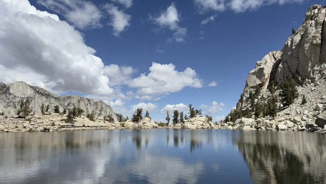
- Mount Whitney in two days — 24 km to the roof of the Lower 48
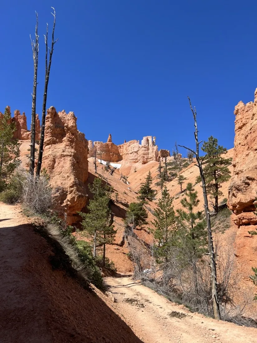
- Bryce Canyon: the Peekaboo Loop through the hoodoos
- Death Valley — the Golden Canyon badlands
- Pinnacles High Peaks — the ladders-and-caves loop
- Mount St. Helens — the crater viewpoint hike
- The Hoh Rain Forest — a walk through Olympic's mossy giants
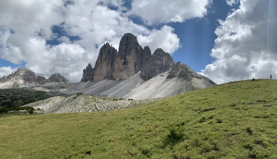
- Dürrensee to the Drei Zinnen — a Dolomites classic
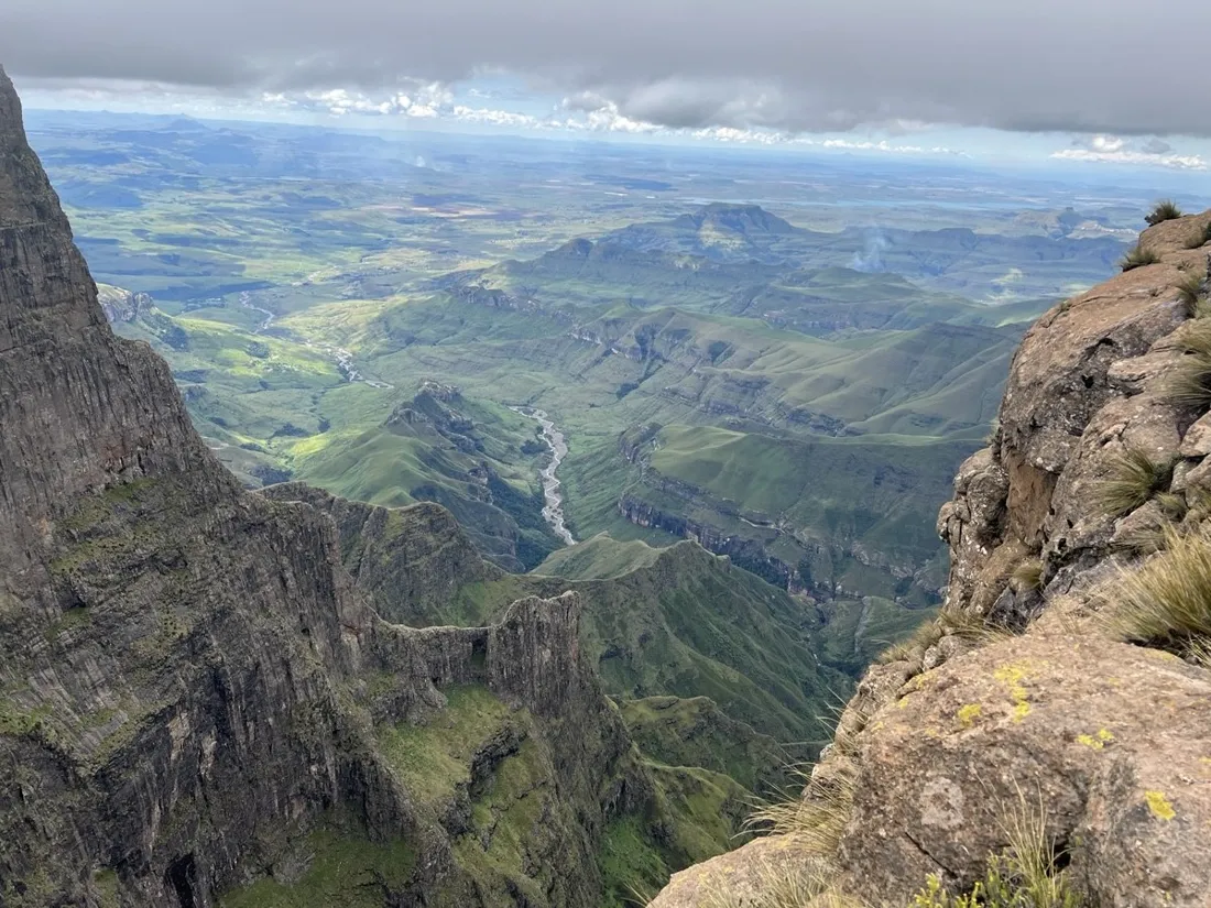
- Drakensberg — the chain ladders to Tugela Falls
Questions
FAQ
Does the hiking tracker work without mobile signal?
Yes, completely. GPS needs no network, and custom maps are stored on the device — deep-wilderness navigation is exactly what NomadTracks is built for.
Can I see elevation gain during the hike?
Yes — live altitude and climb stats are on the recording screen, the Lock Screen and the Apple Watch while you walk.
Can I use the official park or alpine-club map?
Yes. Import it as a PDF/GeoPDF or photograph the paper map, georeference it with a few control points, and hike on the official cartography with your live position.
What is the best app to record a hike?
The best hiking recorder is the one that gets the elevation right, keeps running all day offline, and lets you navigate on the map you actually trust. NomadTracks does all three — accurate gain/loss with full charts, all-day recording with the screen off (or from the Apple Watch), and your own georeferenced park or trail map as a live overlay — for free, with no account.
Free on the App Store
Record, map and keep every adventure — privately, on your own devices.
🤖 Also on Android — free on Google Play.